The National Geologic Map Database is migrating to a new infrastructure. We apologize for any service disruptions during this process.
|
|---|


- Usage in publication:
-
- Big Branch gneiss
- Modifications:
-
- Original reference
- AAPG geologic province:
-
- Llano uplift
Summary:
Pg. 56-57 [1945]. Big Branch gneiss. Predominantly medium- to dark-gray, medium- to flne-grained quartz diorite composition. Intrudes Valley Spring gneiss and Packsaddle schist. Granites of area and their pegmatites and aplites intrude Big Branch gneiss. Derivation of name given.
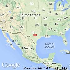
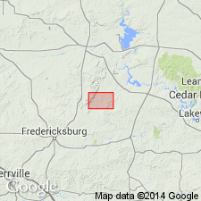
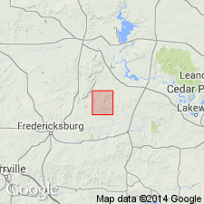
Occurs in northeastern Gillespie and northwestern Blanco Cos., central TX.
See also V.E. Barnes, 1940, GSA 53rd Ann. Mtg. [Gdbk.], p. 53 (geol. Map). Big Branch gneiss shown on geological map of Cut Off Gap area.
Source: US geologic names lexicon (USGS Bull. 1200, p. 328).
- Usage in publication:
-
- Big Branch gneiss
- Modifications:
-
- Revised
- AAPG geologic province:
-
- Llano uplift
Summary:
Pg. 152-153, fig. 1. Coal Creek serpentine mass is bordered along south and for half of its distance along north by Big Branch gneiss. On map legend Big Branch gneiss is placed above Red Mountain gneiss and below Coal Creek serpentine.
Source: US geologic names lexicon (USGS Bull. 1200, p. 328).
- Usage in publication:
-
- Big Branch gneiss
- Modifications:
-
- Mapped
- AAPG geologic province:
-
- Llano uplift
Summary:
Big Branch gneiss. Most abundant Precambrian rock in quadrangle. Intruded Packsaddle schist and Valley Spring gneiss. Age relation of Red Mountain gneiss and Big Branch gneiss not knowm. They may be nearly same age and derived from common source. Age relation to Coal Creek serpentine also in question.
Source: US geologic names lexicon (USGS Bull. 1200, p. 328).
For more information, please contact Nancy Stamm, Geologic Names Committee Secretary.
Asterisk (*) indicates published by U.S. Geological Survey authors.
"No current usage" (†) implies that a name has been abandoned or has fallen into disuse. Former usage and, if known, replacement name given in parentheses ( ).
Slash (/) indicates name conflicts with nomenclatural guidelines (CSN, 1933; ACSN, 1961, 1970; NACSN, 1983, 2005, 2021). May be explained within brackets ([ ]).