The National Geologic Map Database is migrating to a new infrastructure. We apologize for any service disruptions during this process.
|
|---|


- Usage in publication:
-
- Big Blue serpentinous member*
- Modifications:
-
- Named
- Dominant lithology:
-
- Shale
- Conglomerate
- AAPG geologic province:
-
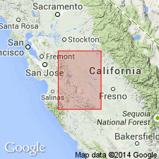
- San Joaquin basin
Summary:
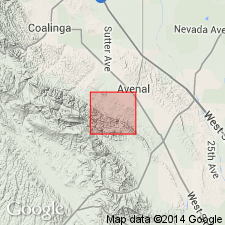
Named for Big Blue Hills, Fresno Co, CA as upper member of Vaqueros formation. Formerly "Big Blue" sand and clay beds mapped as part of Santa Margarita(?) formation in Coalinga district by Arnold and Anderson (1908, USGS Bull. 357; 1910, USGS Bull. 398). Here included in Vaqueros because it interfingers sandy beds containing typical Vaqueros fossils. Occurs in northern part of Coalinga oil field, between Martinez and Cantua Creeks, on Salt Creek to northeast of Ciervo Mountain. Is formed largely of small flakes of serpentine which make up fine-grained, compact shale, slightly bluish when fresh but weathering to various shades of red, yellow, and brown. Includes conglomerates formed of serpentine boulders (some many ft in diameter). Varies in thickness from 40 to 1000 ft. Overlies unnamed member of Vaqueros formation. Unconformably underlies Santa Margarita(?) formation. Age of Vaqueros formation given as early Miocene.
Source: GNU records (USGS DDS-6; Menlo GNULEX).
- Usage in publication:
-
- Big Blue serpentinous member
- Modifications:
-
- Revised
- AAPG geologic province:
-
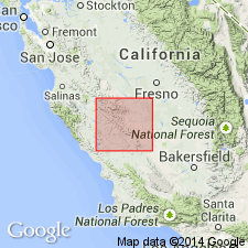
- San Joaquin basin
Summary:
Big Blue serpentinous member of Vaqueros formation is reassigned as member of Temblor formation in map legend. Described as fine conglomerate and variegated clays and sands up to 200 ft thick. Contains large blocks of serpentine as result of old slide from serpentine mass in Franciscan area from the west. Age given as Miocene.
Source: GNU records (USGS DDS-6; Menlo GNULEX).
- Usage in publication:
-
- Big Blue Formation
- Modifications:
-
- Revised
- Overview
- AAPG geologic province:
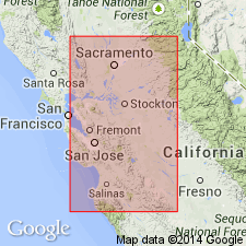
-
- San Joaquin basin
Summary:
Big Blue [Serpentinous Member] of Temblor Formation of earlier workers is raised in rank to Big Blue Formation because of differences in lithology thus restricting Big Blue to lenticular masses of serpentinous shale and conglomerate locally derived from Franciscan massifs near New Idria. Can be subdivided into lower shale member and upper conglomerate member. Big Blue extends for about 20 mi and ranges in thickness from 0 to over 200 ft. Overlies gypsiferous mudstone unit of Temblor Formation. Underlies Santa Margarita Formation. Is nonfossiliferous. Age is Miocene [based on stratigraphic relations].
Source: GNU records (USGS DDS-6; Menlo GNULEX).
- Usage in publication:
-
- Big Blue Formation*
- Modifications:
-
- Adopted
- Revised
- AAPG geologic province:
-
- San Joaquin basin
Summary:
Big Blue Formation as defined by Adegoke (1969) is adopted. Thus Big Blue is removed from Temblor Formation. Age remains Miocene.
Source: GNU records (USGS DDS-6; Menlo GNULEX).
For more information, please contact Nancy Stamm, Geologic Names Committee Secretary.
Asterisk (*) indicates published by U.S. Geological Survey authors.
"No current usage" (†) implies that a name has been abandoned or has fallen into disuse. Former usage and, if known, replacement name given in parentheses ( ).
Slash (/) indicates name conflicts with nomenclatural guidelines (CSN, 1933; ACSN, 1961, 1970; NACSN, 1983, 2005, 2021). May be explained within brackets ([ ]).