- Usage in publication:
-
- Big A sandstone member
- Big A sand facies
- Modifications:
-
- Original reference
- Dominant lithology:
-
- Sandstone
- AAPG geologic province:
-
- Black Mesa basin
Summary:
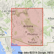
Pg. 84-91. Winters (unpub. thesis) recognized four members of Supai formation in Fort Apache area: Corduroy (new), Fort Apache, Big "A" [Big A Butte], and Amos Wash (new). In area of report [Fossil Creek], Supai comprises (ascending) Packard Ranch (new), Oak Creek (new), Big A [Big A Butte] sand facies, and Corduroy sand facies. Age is Permian.
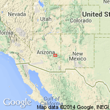
First described near Fort Apache, central AZ.
Source: US geologic names lexicon (USGS Bull. 1200, p. 325).

- Usage in publication:
-
- Big A Butte Member
- Modifications:
-
- Principal reference
- Dominant lithology:
-
- Mudstone
- Siltstone
- Claystone
- Limestone
- Gypsum
- AAPG geologic province:
-
- Basin-and-Range province
- Black Mesa basin
Summary:
Pg. 10, measured sections; New Mexico Geol. Soc. Gdbk., 13th Ann. Conf., p. 87-88, 1962. Big A Butte Member of Supai Formation. Thickness about 475 feet. Contains numerous stringers and beds of gypsum, as well as thin limestone and calcareous claystone units, interbedded with dominant reddish-brown mudstones and siltstones which form ledge and slope topography. Overlies Amos Wash Member; underlies Fort Apache Limestone Member. [Age is Early Permian (Wolfcampian).]
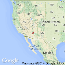
Named from good exposures on Big A Butte about 1 mi southeast of town of Whiteriver, Navajo Co., eastern AZ. [Extends into Gila Co.]
Source: US geologic names lexicon (USGS Bull. 1350, p. 64).

- Usage in publication:
-
- Big A Butte Member
- Modifications:
-
- Revised
- AAPG geologic province:
-
- Basin-and-Range province
- Black Mesa basin
Summary:
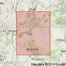
Reassigned as basal member of Schnebly Hill Formation of Sedona Group in the eastern Mogollon Rim and subsurface of the Mogollon slope of central AZ, Black Mesa basin and Basin-and-Range province. Block diagram. Correlation chart. Overlies Hermit Formation of Sedona Group. Underlies Fort Apache Member of Schnebly Hill. Of Early Permian, Leonardian age.
Source: GNU records (USGS DDS-6; Denver GNULEX).

- Usage in publication:
-
- Big A Butte Member
- Modifications:
-
- Revised
- AAPG geologic province:
-
- Basin-and-Range province
Summary:
Reassigned as a member from Supai Formation to the Schnebly Hill Formation (named). Is poorly exposed in steep wooded slopes throughout the eastern Mogollon Rim, central AZ, Basin-and-Range province. Is areally restricted to its type section [none was designated] at Big A Butte on the Fort Apache Indian Reservation. Is stratigraphically restricted at type where lowermost tens of meters are assigned to the newly named Bell Rock Member of Schnebly Hill. Consists of red-brown sandy siltstone, mudstone, gypsum, and carbonate. Fossil mollusks in carbonate strata. Is about 500 ft thick. Intertongues with and overlies Bell Rock Member. Underlies Fort Apache Member (also reassigned from Supai Formation to Schnebly Hill). Nomenclature chart, cross sections. Of Early Permian, Leonardian age.
Source: GNU records (USGS DDS-6; Denver GNULEX).
For more information, please contact Nancy Stamm, Geologic Names Committee Secretary.
Asterisk (*) indicates published by U.S. Geological Survey authors.
"No current usage" (†) implies that a name has been abandoned or has fallen into disuse. Former usage and, if known, replacement name given in parentheses ( ).
Slash (/) indicates name conflicts with nomenclatural guidelines (CSN, 1933; ACSN, 1961, 1970; NACSN, 1983, 2005, 2021). May be explained within brackets ([ ]).

