The National Geologic Map Database is migrating to a new infrastructure. We apologize for any service disruptions during this process.
|
|---|


- Usage in publication:
-
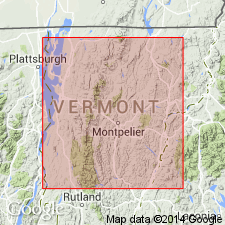
- Bethel group
- Modifications:
-
- Original reference
- Dominant lithology:
-
- Schist
- AAPG geologic province:
-
- New England province
Summary:
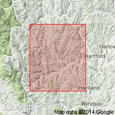
Pg. 127-158, describing Barnard, Pomfret, and Woodstock Townships. Bethel group (mapped) includes the hydromica schist (Bethel schist) of earlier reports and the chlorite schist. Latter schists occasionally conform in dip and strike with the Bethel schists, with which they are often intimately associated. In such instances they may be regarded as of sedimentary origin and as a part of Bethel group. In Roxbury, to north, they are not of sedimentary origin but are igneous. Narrow beds of chlorite schist may occur in overlying Missisquoi group.
[Presumably named for Bethel, which is in northwest part of Windsor Co., southeastern VT.]
Source: US geologic names lexicon (USGS Bull. 896, p. 176).
- Usage in publication:
-
- Bethel chlorite schist
- Modifications:
-
- Age modified
- AAPG geologic province:
-
- New England province
Summary:
Table opp. p. 288. Used Bethel chlorite schist, and assigned it to Upper Cambrian.
Source: US geologic names lexicon (USGS Bull. 896, p. 176).
For more information, please contact Nancy Stamm, Geologic Names Committee Secretary.
Asterisk (*) indicates published by U.S. Geological Survey authors.
"No current usage" (†) implies that a name has been abandoned or has fallen into disuse. Former usage and, if known, replacement name given in parentheses ( ).
Slash (/) indicates name conflicts with nomenclatural guidelines (CSN, 1933; ACSN, 1961, 1970; NACSN, 1983, 2005, 2021). May be explained within brackets ([ ]).