- Usage in publication:
-
- Bern limestone*
- Modifications:
-
- Original reference
- Dominant lithology:
-
- Limestone
- Shale
- Coal
- AAPG geologic province:
-
- Nemaha anticline
Summary:
Pg. 2274 (fig. 1), 2276-2277. Bern limestone of Wabaunsee group. Defined to include persistent escarpment-forming limestone and associated strata which occur between Auburn shale above and Scranton shale below. Thickness ranges from about 7 feet to 35 feet; average 20 feet. Comprises (ascending) Burlingame limestone, Soldiers Creek shale, and Wakarusa limestone members. Age is Late Pennsylvanian (Virgilian).
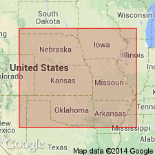
Type section: roadcut in SE/4 SE/4 sec. 7, T. 1 S., R. 13 E., about 0.5 mi north and 1 mi west of Bern. Named from town of Bern, Nemaha Co., northeastern KS.
Source: US geologic names lexicon (USGS Bull. 1200, p. 312).
For more information, please contact Nancy Stamm, Geologic Names Committee Secretary.
Asterisk (*) indicates published by U.S. Geological Survey authors.
"No current usage" (†) implies that a name has been abandoned or has fallen into disuse. Former usage and, if known, replacement name given in parentheses ( ).
Slash (/) indicates name conflicts with nomenclatural guidelines (CSN, 1933; ACSN, 1961, 1970; NACSN, 1983, 2005, 2021). May be explained within brackets ([ ]).

