The National Geologic Map Database is migrating to a new infrastructure. We apologize for any service disruptions during this process.
|
|---|


- Usage in publication:
-
- Benson or Bigby bed
- [Benson limestone]
- Modifications:
-
- Original reference
- Dominant lithology:
-
- Limestone
- AAPG geologic province:
-
- Cincinnati arch
Summary:
(Imprint on title page July 1913.) Pg. 389 (table), 429, 430; A.F. Foerste, A chemical study of the Trenton and Stone's River rocks in central Kentucky, same vol., p. 380. Benson or Bigby bed [Benson limestone]. Fossiliferous granular limestone, occasionally phosphatic at top; 35 feet thick. Underlies Brannon bed and overlies Wilmore bed. Has been regarded same as Bigby formation of Tennessee, but Bigby should either include all strata between Wilmore and Perryville formations or be restricted to Woodburn horizon. Characteristic fossils from upper part of Benson bed (STROMATOCERIUM, STROPHOMENA VICINA, and DINORTHIS ULRICHI) do not occur in the Bigby of Tennessee. Age is Middle Ordovician (Trenton).
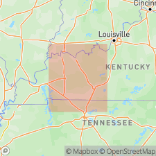
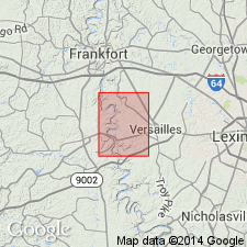
Named from Benson, Franklin Co., central KY.
Source: US geologic names lexicon (USGS Bull. 896, p. 163).
- Usage in publication:
-
- Benson limestone
- Modifications:
-
- Revised
- AAPG geologic province:
-
- Cincinnati arch
Summary:
Pg. 41, 42; D.K. Hamilton, 1950, Kentucky Geol. Survey Bull., 9th ser., no. 5, p. 13-14. Benson limestone of Lexington group. Considered uppermost formation in Lexington group. [Age is Middle Ordovician.]
Source: US geologic names lexicon (USGS Bull. 1200, p. 303).
- Usage in publication:
-
- Benson limestone [unranked]
- Modifications:
-
- Revised
- AAPG geologic province:
-
- Cincinnati arch
Summary:
Pg. 1635-1636. Benson limestone [unranked] in Lexington limestone. Occurs at top of lower Lexington limestone; overlies Jessamine limestone; underlies Brannon limestone in middle Lexington. Thickness 40 to 75 feet. South from central Bluegrass area includes Perryville facies (until recently regarded as post-Woodburn in age and referred to as Perryville formation). [Age is Middle Ordovician.]
Source: US geologic names lexicon (USGS Bull. 1200, p. 303).
- Usage in publication:
-
- Benson Limestone†
- Modifications:
-
- Abandoned
- AAPG geologic province:
-
- Cincinnati arch
For more information, please contact Nancy Stamm, Geologic Names Committee Secretary.
Asterisk (*) indicates published by U.S. Geological Survey authors.
"No current usage" (†) implies that a name has been abandoned or has fallen into disuse. Former usage and, if known, replacement name given in parentheses ( ).
Slash (/) indicates name conflicts with nomenclatural guidelines (CSN, 1933; ACSN, 1961, 1970; NACSN, 1983, 2005, 2021). May be explained within brackets ([ ]).