

- Usage in publication:
-
- Bennington Drift
- Bennington Till
- Modifications:
-
- Original reference
- Dominant lithology:
-
- Till
- AAPG geologic province:
-
- New England province
Summary:
Pg. 60-70. Bennington Drift (and Bennington Till). Blue-gray to gray silty and sandy till. Age is Pleistocene.
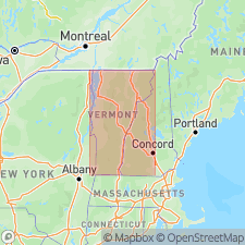
Type locality: exposed at surface in small area between Bennington and Brattleboro, Bennington quadrangle, Bennington Co., southwestern VT.
Source: US geologic names lexicon (USGS Bull. 1520, p. 26).
For more information, please contact Nancy Stamm, Geologic Names Committee Secretary.
Asterisk (*) indicates published by U.S. Geological Survey authors.
"No current usage" (†) implies that a name has been abandoned or has fallen into disuse. Former usage and, if known, replacement name given in parentheses ( ).
Slash (/) indicates name conflicts with nomenclatural guidelines (CSN, 1933; ACSN, 1961, 1970; NACSN, 1983, 2005, 2021). May be explained within brackets ([ ]).