

- Usage in publication:
-
- Bell Valley andesite
- Modifications:
-
- Original reference
- Dominant lithology:
-
- Andesite
- AAPG geologic province:
-
- Permian basin
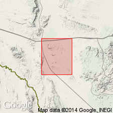
Summary:
Bell Valley Andesite of Garren Group. Name proposed for a thick sequence of dark-gray olivine andesite flows. Maximum exposed thickness 610 feet on Chipsa Mountain. Youngest volcanic formation in area. Age is Tertiary.
Type section: north side of Chipsa Mountain, Wylie Mountains area, Jeff Davis Co., TX. Named from Bell Valley on north side of Chipsa Mountain.
Source: US geologic names lexicon (USGS Bull. 1200, p. 292-293).
- Usage in publication:
-
- Bell Valley andesite
- Modifications:
-
- Overview
- AAPG geologic province:
-
- Permian basin
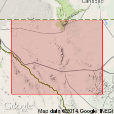
Summary:
Pg. 31 (fig. 14) [credited to R.K. DeFord]. Generalized columnar section shows Bell Valley andesite above Means trachyte.
Source: US geologic names lexicon (USGS Bull. 1200, p. 292-293).
For more information, please contact Nancy Stamm, Geologic Names Committee Secretary.
Asterisk (*) indicates published by U.S. Geological Survey authors.
"No current usage" (†) implies that a name has been abandoned or has fallen into disuse. Former usage and, if known, replacement name given in parentheses ( ).
Slash (/) indicates name conflicts with nomenclatural guidelines (CSN, 1933; ACSN, 1961, 1970; NACSN, 1983, 2005, 2021). May be explained within brackets ([ ]).