

- Usage in publication:
-
- Bell sandstone
- Modifications:
-
- Informally named
- Dominant lithology:
-
- Sandstone
- AAPG geologic province:
-
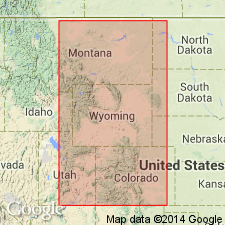
- Powder River basin
Summary:
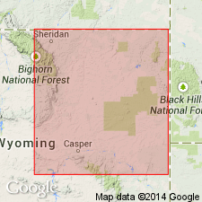
Pg. 683. Bell sandstone (informal). Named applied to oil-producing zone at base of Minnelusa formation in Lance Creek oil field, Niobrara County, Wyoming. Top approximately 1,000 feet below top of Minnelusa and 500 feet below top of Leo sandstone (informal) in Minnelusa. Immediately overlies Mississippian Madison limestone. [Age is Pennsylvanian.]
[Probably named from Continental Oil Company, Tom Bell Cattle Company No. 10 well, in SW/4 NW/4 sec. 34, T. 36 N., R. 65 W., Niobrara Co., northeastern WY.]
Source: Publication; GNU records (USGS DDS-6; Denver GNULEX).
- Usage in publication:
-
- Bell sand
- Modifications:
-
- Overview
- AAPG geologic province:
-
- Powder River basin
Summary:
Informal name for basal sandstone unit of the Minnelusa formation in the southern and eastern parts of the Powder River basin. Shown on correlation diagram as equivalent to the Fairbanks [member] of the Hartville formation in the Hartville uplift, Wyoming, and the "Darwin sand" of the Amsden formation in the Bighorn basin, Wyoming. Age is Pennsylvanian (Morrowan?).
Source: GNU records (USGS DDS-6; Denver GNULEX).
For more information, please contact Nancy Stamm, Geologic Names Committee Secretary.
Asterisk (*) indicates published by U.S. Geological Survey authors.
"No current usage" (†) implies that a name has been abandoned or has fallen into disuse. Former usage and, if known, replacement name given in parentheses ( ).
Slash (/) indicates name conflicts with nomenclatural guidelines (CSN, 1933; ACSN, 1961, 1970; NACSN, 1983, 2005, 2021). May be explained within brackets ([ ]).