

- Usage in publication:
-
- Upper Belcher sandstone
- Lower Belcher sandstone
- Upper Belcher shale
- Lower Belcher shale
- Modifications:
-
- Original reference
- Dominant lithology:
-
- Sandstone
- Shale
- AAPG geologic province:
-
- Appalachian basin
Summary:
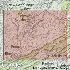
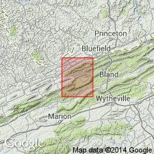
Pg. 294, 318-320. Upper Belcher sandstone --greenish-gray, massive, medium coarse ledge, 15 to 40 feet thick, underlying Bratton shale and overlying Upper Belcher shale. Upper Belcher shale --red shale, with lenticular streak of carbonaceous fire clay near middle and with marine fossils; thickness 15 to 30 feet. Rests on Lower Belcher sandstone, which consists of greenish-gray massive or flaggy micaceous sandstone, 15 to 45 feet thick, which rests on Lower Belcher shale, a red sandy shale 20 to 30 feet thick, carrying marine fossils. All are members of Bluestone group [Bluestone formation] and all are exposed just north of Belcher School, in Mercer County, southeastern West Virginia. Belcher sandstone recognized in southeastern West Virginia; Belcher shale recognized in southeastern West Virginia and southwestern Virginia (Tazewell County). Age is Mississippian.
[The Bluestone group is a term used by some geologists to include same rocks as Bluestone formation of USGS reports (US geologic names lexicon, USGS Bull. 896, p. 222).]
Source: US geologic names lexicon (USGS Bull. 896, p. 149).
- Usage in publication:
-
- Belcher member
- Modifications:
-
- Principal reference
- Dominant lithology:
-
- Sandstone
- Shale
- AAPG geologic province:
-
- Appalachian basin
Summary:
Pg. 184-185, pl. 15. Beds classified by Reger (1926, p. 294, 318-320) as Lower Belcher shale, Lower Belcher sandstone, Upper Belcher shale, and Upper Belcher sandstone, are grouped into single member and named Belcher member of Bluestone formation. Thickness 80 to 100 feet. Underlies Bratton member; overlies Mud Fork member (new). Present in southeastern West Virginia and southwestern Virginia. Age is Late Mississippian (Chesterian).
Type locality [considered type section by GNU (USGS DDS-6; Reston GNULEX)]: along Bluefield-Princeton Road across Big Ridge, near Belcher School, Mercer Co., WV. Well exposed along Road 656 about 1.5 miles north of Bailey, Tazewell Co., VA.
Reference cited: Reger, D.B., 1926, West Virginia Geol. Survey Rpt. Mercer, Monroe, and Summers Counties.
Source: US geologic names lexicon (USGS Bull. 1200, p. 280).
- Usage in publication:
-
- Belcher beds
- Modifications:
-
- Overview
- AAPG geologic province:
-
- Appalachian basin
Summary:
Chart 5 (columns 97, 98). Shown on correlation chart as Belcher beds in Bluestone formation or group.
Source: US geologic names lexicon (USGS Bull. 1200, p. 280).
For more information, please contact Nancy Stamm, Geologic Names Committee Secretary.
Asterisk (*) indicates published by U.S. Geological Survey authors.
"No current usage" (†) implies that a name has been abandoned or has fallen into disuse. Former usage and, if known, replacement name given in parentheses ( ).
Slash (/) indicates name conflicts with nomenclatural guidelines (CSN, 1933; ACSN, 1961, 1970; NACSN, 1983, 2005, 2021). May be explained within brackets ([ ]).