

- Usage in publication:
-
- Beers Spring Formation
- Modifications:
-
- Named
- Dominant lithology:
-
- Tuff
- Sandstone
- AAPG geologic province:
-
- Great Basin province
Summary:
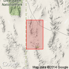
Named for spring in sec 16, T26S, R18W, Beaver Co., UT in Great Basin province. Divided into 3 units that make up a section 370 ft thick. Type section is composite of SE1/4 sec 24, T28S, R19W, and SW1/4 sec 10, T26S, R18W. Unit 1 at base a vitric phenoandesite tuff 10 to 20 ft thick is persistent over about 20 sq mi area west of Sawtooth Peak. Unit 2 a volcanic sandstone (coarse, gravelly sand or submature volcanic arenite) about 75 ft thick at its type locality has torrential type of cross-bedding. SE1/4 sec 24. T28S, R19W is the type section for units 1 and 2. Unit 3 can be separated into 6 [sub] units, none of which have great areal extent (type section is in SW1/4 sec 10, T26S, R18W). Subunit 1, at base, a green volcanic rock of phenoandesite composition about 15 ft thick has an outcrop area less than 1 sq mi. Subunit 2 is a discontinuous green-gray conglomerate made up of rounded fragments of the underlying unit, lacks sorting or bedding (probably was a mudflow), and ranges from a feather edge to several hundred ft thick. Subunits 3 and 4 are ignimbrites separated in a few places by green conglomerate lenses. Subunit 5 is a gray crystal phenodacite tuff that has a maximum thickness of 12 ft. Subunit 6 (top) a green conglomerate of angular fragments of volcanic rock 110 ft thick is thought to be a mudflow. Is younger than Sawtooth Peak Formation (new) and older Needles Range Formation. Assigned to the Oligocene.
Source: GNU records (USGS DDS-6; Denver GNULEX).
- Usage in publication:
-
- Beers Spring Member
- Modifications:
-
- Revised
- AAPG geologic province:
-
- Great Basin province
Summary:
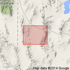
Changed in stratigraphic rank from Beers Spring Formation to Beers Spring Member, upper member of the Escalante Desert Formation. Overlies the upper tuff of the newly named Lamerdorf Member of the Escalante Desert. Is widespread throughout the Needle Range and southern Wah Wah Mountains of Beaver Co, UT in the Great Basin province. Composed of green mudflow conglomerate and buff tuffs, 0-32 m thick. Underlies Cottonwood Wash Tuff Member of Escalante Desert Formation. Tertiary age. Geologic maps. Columnar section. Cross sections.
Source: GNU records (USGS DDS-6; Denver GNULEX).
- Usage in publication:
-
- Beers Spring Member*
- Modifications:
-
- Adopted
- AAPG geologic province:
-
- Great Basin province
Summary:
Beers Spring Formation of Conrad (1969) is adopted as the Beers Spring Member of the Escalante Desert Formation. Disconformably overlies the Lamerdorf Tuff Member of the Escalante Desert Formation (Campbell, 1978); disconformably underlies the brecciated Cottonwood Wash Tuff Member of the Needles Range Formation. Age is Oligocene.
Source: GNU records (USGS DDS-6; Menlo GNULEX).
- Usage in publication:
-
- Beers Spring Member*
- Modifications:
-
- Revised
- Reference
- Dominant lithology:
-
- Sandstone
- AAPG geologic province:
-
- Great Basin province
Summary:
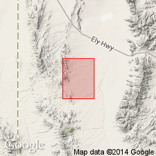
Assigned as upper member of Escalante Desert Formation to Needles Range Group (raised in stratigraphic rank). Type section stated as lying in secs 15 and 16, T26S, R18W, Halfway Summit quad, where member is 50 m thick. Known in southern Mountain Home, Needle, and Indian Peak Ranges, and Wah Wah Mountains, southwest UT in the Great Basin province. Called member 3 by Conrad (1969). Reference section designated 1-2 km south of Ryan Spring, east of and along an unimproved road leading to Indian Peak in sec 1, T29S, R19W, Beaver Co. At reference section member is a well-sorted, evenly bedded, friable greenish-gray sandstone as much as 100 m thick that lies above the Lamerdorf Tuff Member of Escalante Desert Formation, and below breccias of intra-caldera member of Wah Wah Springs Formation. Derived from Pine Valley caldera. Is of Oligocene (between 33 and 30.6 m.y.) age. Stratigraphic chart.
Source: GNU records (USGS DDS-6; Denver GNULEX).

- Usage in publication:
-
- Beers Spring Member*
- Modifications:
-
- Mapped 1:24k
- Dominant lithology:
-
- Tuff
- Conglomerate
- AAPG geologic province:
-
- Great Basin province
Summary:
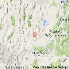
Is mapped as upper member (of 3) of Escalante Desert Formation of Needles Range Group (Oligocene) in southern part of Mountain Home Range, in western Millard and Beaver Cos, southwest UT (Great Basin province). Overlies Lamerdorf Tuff Member of Escalante Desert Formation and is overlain by Cottonwood Wash Tuff of Needles Range Group. Map unit described as greenish-gray tuff exposed in patches along the east flank of the Mountain Home Range and near The Needles in the southeast corner of the map; commonly consists of a weakly consolidated andesitic conglomerate with rounded carbonate rock, andesite, and quartzite pebbles and cobbles in a calcareous or tuffaceous matrix; ranges from 0 to 10 m thick.
Source: GNU records (USGS DDS-6; Denver GNULEX).
For more information, please contact Nancy Stamm, Geologic Names Committee Secretary.
Asterisk (*) indicates published by U.S. Geological Survey authors.
"No current usage" (†) implies that a name has been abandoned or has fallen into disuse. Former usage and, if known, replacement name given in parentheses ( ).
Slash (/) indicates name conflicts with nomenclatural guidelines (CSN, 1933; ACSN, 1961, 1970; NACSN, 1983, 2005, 2021). May be explained within brackets ([ ]).