The National Geologic Map Database is migrating to a new infrastructure. We apologize for any service disruptions during this process.
|
|---|


- Usage in publication:
-
- Beaverdam Run member
- Modifications:
-
- Named
- Dominant lithology:
-
- Shale
- AAPG geologic province:
-
- Appalachian basin
Summary:
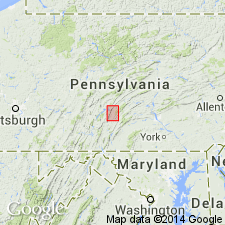
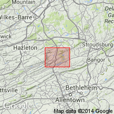
Named Beaverdam Run member of the Newton Hamilton formation for Beaverdam Run which empties into the Juniata River, 1-1/2 miles northeast of Newton Hamilton, PA. Consists of dark-gray to black thinly laminated to fissile and papery shale, weathering greenish gray; pyritiferous nodules of black chert occur at several levels; at base is a 6 inch unit of dark-gray very argillaceous and carbonaceous fine- to coarse-grained calcareous sandstone representing reworked Ridgeley and resting with sharp contact on that formation. Unit underlies the Hares Valley limestone and shale member. The Beaverdam Run is of Late Devonian age.
Source: GNU records (USGS DDS-6; Reston GNULEX).
- Usage in publication:
-
- Beaverdam Run member*
- Modifications:
-
- Revised
- AAPG geologic province:
-
- Appalachian basin
Summary:
Revised the Beaverdam Run member as a member of the Catskill formation. Unit consists of gray or greenish-gray very fine grained to medium-fine silty sandstone and siltstone. Rock is low-rank graywacke and is very similar to the Trimmers Rock sandstone. The Beaverdam Run overlies the Walcksville sandstone member and underlies the Damascus redbed member, both of the Catskill formation.
Source: GNU records (USGS DDS-6; Reston GNULEX).

- Usage in publication:
-
- Beaverdam Run Tongue*
- Modifications:
-
- Revised
- AAPG geologic province:
-
- Appalachian basin
Summary:
The Beaverdam Run is reduced in rank to the Beaverdam Run Tongue and reassigned to the Trimmers Rock Sandstone of the Susquehanna Group.
Source: GNU records (USGS DDS-6; Reston GNULEX).
For more information, please contact Nancy Stamm, Geologic Names Committee Secretary.
Asterisk (*) indicates published by U.S. Geological Survey authors.
"No current usage" (†) implies that a name has been abandoned or has fallen into disuse. Former usage and, if known, replacement name given in parentheses ( ).
Slash (/) indicates name conflicts with nomenclatural guidelines (CSN, 1933; ACSN, 1961, 1970; NACSN, 1983, 2005, 2021). May be explained within brackets ([ ]).