- Usage in publication:
-
- Beaverdam Creek augen gneiss*
- Modifications:
-
- Original reference
- Dominant lithology:
-
- Gneiss
- AAPG geologic province:
-
- Piedmont-Blue Ridge province
Summary:
Pg. 32-34, pl. 1. Beaverdam Creek augen gneiss. Dark-gray rock banded by red-brown biotite, with coarse gray microcline metacrysts, which are deformed into augen, and blue quartz grains. Derived when granitic solutions related to Striped Rock granite injected Saddle gneiss (new). Age is Precambrian.
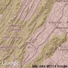
Named from occurrence on Beaverdam Creek, southeast of Independence, [Independence 15-min quadrangle], Grayson Co., southwestern VA. Wide distribution in belt that extends from Baxter Ferry on New River southwestward to Penitentiary Ford on same river [Independence 15-min quadrangle], Grayson Co., southwestern VA.
Source: US geologic names lexicon (USGS Bull. 1200, p. 259-260).
For more information, please contact Nancy Stamm, Geologic Names Committee Secretary.
Asterisk (*) indicates published by U.S. Geological Survey authors.
"No current usage" (†) implies that a name has been abandoned or has fallen into disuse. Former usage and, if known, replacement name given in parentheses ( ).
Slash (/) indicates name conflicts with nomenclatural guidelines (CSN, 1933; ACSN, 1961, 1970; NACSN, 1983, 2005, 2021). May be explained within brackets ([ ]).

