The National Geologic Map Database is migrating to a new infrastructure. We apologize for any service disruptions during this process.
|
|---|


- Usage in publication:
-
- Beaver division
- Modifications:
-
- Original reference
- Dominant lithology:
-
- Dolomite
- AAPG geologic province:
-
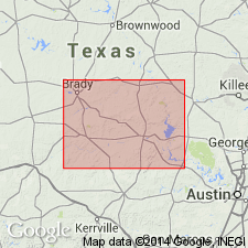
- Llano uplift
Summary:
Pl. 3, p. 259-306. Beaver division. Lower 200 feet chiefly sandy buff dolomites with some dark dolomite in upper third, called Cavern subdivision, from caves and grottoes in it; lower 60 to 80 feet nonfossiliferous, blue magnesium dolomites, in beds 5 to 20 feet thick, called Bluff subdivision, from exposures in bluffs. Basal division of Leon series. Underlies Wyoming division and overlies Potsdam. [Age is Late Cambrian or Early Ordovician.]
[Named from Beaver Creek, Burnet Co., central TX.]
Source: US geologic names lexicon (USGS Bull. 896, p. 137).
For more information, please contact Nancy Stamm, Geologic Names Committee Secretary.
Asterisk (*) indicates published by U.S. Geological Survey authors.
"No current usage" (†) implies that a name has been abandoned or has fallen into disuse. Former usage and, if known, replacement name given in parentheses ( ).
Slash (/) indicates name conflicts with nomenclatural guidelines (CSN, 1933; ACSN, 1961, 1970; NACSN, 1983, 2005, 2021). May be explained within brackets ([ ]).