- Usage in publication:
-
- Beattyville substage
- Beattyville shales
- [Beattyville shale]
- Modifications:
-
- Principal reference
- Dominant lithology:
-
- Shale
- Sandstone
- Coal
- AAPG geologic province:
-
- Appalachian basin
Summary:
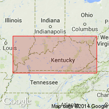
Pg. 10-11, 147 --tables only; also A.M. Miller, 1917, Table of geological formations of Kentucky, p. 2. Beattyville substage (also Beattyville shales). Mainly shales; sandstone; coal from 2 seams 3 to 4 feet thick--Beaver Creek (Beattyville and Hudson); bituminous sandstone of Carter County; and some of that of western Kentucky. Is lower part of Lee formation, beneath Rockcastle sandstone. Carries land plant remains. Thickness 40 to 150 feet. [ca. 1936 usage is Beattyville shale of Pottsville group. Age is Pennsylvanian.]
[Apparently named from Beattyville, Lee Co., southeastern KY.]
Source: US geologic names lexicon (USGS Bull. 896, p. 136).

- Usage in publication:
-
- Beattyville Shale Member
- Modifications:
-
- Revised
- Dominant lithology:
-
- Shale
- Siltstone
- Sandstone
- AAPG geologic province:
-
- Appalachian basin
Summary:
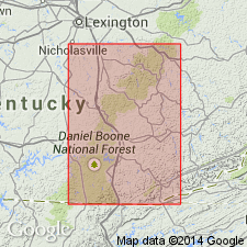
zzzzzRevised to Beattyville Shale Member of Lee Formation in Ano 7.5-min quadrangle (within Somerset 1:100,000 quadrangle), Pulaski and Laurel Counties, southeastern Kentucky. Description for the Beattyville on stratigraphic column, is as follows: "Shale, siltstone, and fine-grained sandstone, gray to buff, carbonaceous. Sandstone and siltstone lenses are as much as 30 feet thick but average less than 20 feet. Member locally contains several thin and discontinuous coal beds known as the Beaver Creek, Stearns, and Hudson coals. Generally forms steep to meoderatley sloping topography, poorly exposed and commonly covered by dense vegetation and jumbled masses of large blocks of conglomerate. Thickness ranges from 30 to 200 feet. Member rests unconformably on Pennington Formation, locally fills a channel more than a mile wide and 100 feet deep in the Pennington". Regionally, unconformably underlies the Rockcastle Member of Lee Formation. Age is Early Pennsylvanian. Map includes stratigraphic column, cross section, brief narrative on economic geology. Scanned image of map is available for viewing, on the internet, through the Kentucky State Geological Survey website.
Source: Publication.

- Usage in publication:
-
- Beattyville Shale Member†
- Modifications:
-
- Abandoned
- AAPG geologic province:
-
- Appalachian basin
Summary:
Beattyville Shale Member abandoned as it was a poorly defined unit that had been applied to different stratigraphic intervals and had no type section. Unit was not necessary nor useful in describing Pennsylvanian stratigraphy in eastern KY.
Source: GNU records (USGS DDS-6; Reston GNULEX).
For more information, please contact Nancy Stamm, Geologic Names Committee Secretary.
Asterisk (*) indicates published by U.S. Geological Survey authors.
"No current usage" (†) implies that a name has been abandoned or has fallen into disuse. Former usage and, if known, replacement name given in parentheses ( ).
Slash (/) indicates name conflicts with nomenclatural guidelines (CSN, 1933; ACSN, 1961, 1970; NACSN, 1983, 2005, 2021). May be explained within brackets ([ ]).

