The National Geologic Map Database is migrating to a new infrastructure. We apologize for any service disruptions during this process.
|
|---|


- Usage in publication:
-
- Bear Spring formation
- Modifications:
-
- Original reference
- Dominant lithology:
-
- Limestone
- Chert
- AAPG geologic province:
-
- Llano uplift
Summary:
Pg. 136-138. Bear Spring formation. Name applied to fossiliferous and in part cherty limestones of early Middle Devonian [Eifelian] age that occur in an ancient collapse structure. Rocks are fine- to coarse-grained; color varies (white to cream colored, yellowish- or greenish-brown to buff, bronze, olive-brown. ivory, or nutria); over lower part of collapsed area, considerable dull-white to speckled-gray porcelaneous to semiporcelaneous chert occurs in float. At type locality, a patch of rocks, 240 feet long in northeast-southwest direction and 140 to 160 feet wide, has collapsed into limestones of Lower Ordovician Gorman formation and is in part overlapped by rocks of Mississippian age.
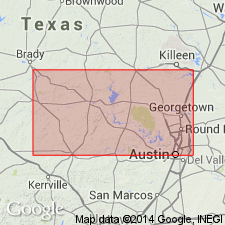
Type locality: [2.2 mi east of Bear Spring], near head of east fork of a draw that enters south side of valley of Honey Creek, about 280 ft upstream from rock cabin on Roy Zesch Ranch, Mason Co., central TX.
Source: US geologic names lexicon (USGS Bull. 1200, p. 253-254); supplemental information from GNU records (USGS DDS-6; Denver GNULEX).
For more information, please contact Nancy Stamm, Geologic Names Committee Secretary.
Asterisk (*) indicates published by U.S. Geological Survey authors.
"No current usage" (†) implies that a name has been abandoned or has fallen into disuse. Former usage and, if known, replacement name given in parentheses ( ).
Slash (/) indicates name conflicts with nomenclatural guidelines (CSN, 1933; ACSN, 1961, 1970; NACSN, 1983, 2005, 2021). May be explained within brackets ([ ]).