The National Geologic Map Database is migrating to a new infrastructure. We apologize for any service disruptions during this process.
|
|---|


- Usage in publication:
-
- Bays sandstone*
- Modifications:
-
- Original reference
- Dominant lithology:
-
- Sandstone
- AAPG geologic province:
-
- Appalachian basin
Summary:
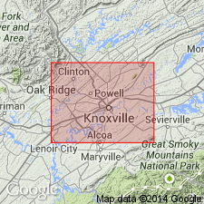
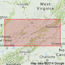
Pg. 4. Bays sandstone. Red calcareous and argillaceous sandstone; changes in composition very slight. In Knoxville area the lime becomes more important than in other areas, and the rock is often an impure limestone. Near Montvale feldspathic grains appear in the rock, and not far toward southwest they are an important element. The red color, however, is marked and persistent. Thickness 300 to 1,100 feet. Overlies Sevier shale and underlies Clinch sandstone. [Age is Ordovician.]
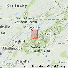
Named from Bays Mountains, Hawkins and Green Cos., northeastern TN.
Source: US geologic names lexicon (USGS Bull. 896, p. 129-130).

- Usage in publication:
-
- Bays sandstone*
- Modifications:
-
- Overview
- AAPG geologic province:
-
- Appalachian basin
Summary:
Bays sandstone. Foregoing [see Keith, USGS Knoxville folio, no. 16, 1895 entry] is definition as originally prepared by Mr. Keith, author of name. Mr. Keith's name was accepted by M.R. Campbell, who used it on a map of southwestern Virginia published in 1894 (GSA Bull., v. 5, pl. 4), where the formation was called Bays (Red Medina) sandstone, and was shown as overlying Sevier shale and underlying Clinch sandstone (the name Clinch being here restricted to upper light-colored sandstone of Safford's Clinch Mountain sandstone). The name was also used by Campbell in Estillville folio (no. 12), published in 1894. As deflned in latter folio (which includes extreme northern end of Bays Mountain) the formation consists of red sandstone or sandy shale 140 to 350 feet thick, overlyling Sevier shale and underlying Clinch sandstone. In type area (described by Keith in Greeneville folio, no. 118, published in 1905) the formation is everywhere an argillaceous and calcareous sandstone; shows little change in appearance from place to place; color always red or brown; layers usually massive, but in some places thin and shaly; thickness 50 to 400 feet; usually sharply separated from overlying Clinch sandstone, but in southwestern end of Bays Mountain is more or less interbedded with the Clinch.
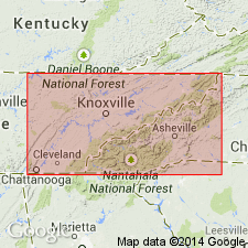
The Bays sandstone was named "for its exposures in the Bays Mountains of Hawkins and Greene Counties, Tennessee" (Morristown and Greeneville quadrangles). The geographic feature known as Bays Mountain extends from northwestern part of Knoxville quadrangle, across southeastern corner of Maynardville quadrangle, thence northeast across Morristown quadrangle, the northwestern corner of Greeneville quadrangle, and southeastern corner of Estillville quadrangle. In Bays Mountain of all these quadrangles, a formation described as underlying Clinch sandstone and overlying Sevier shale was mapped as Bays sandstone in early reports of the USGS. But according to E.O. Ulrich and C. Butts the formation thus mapped is not of same age in all of these areas, the Bays sandstone of Estillville quadrangle being Juniata formation, of Upper Ordovician (Richmond) age, while the Bays sandstone southeast of Knoxville and at Bull Gap, in Morristown quadrangle, is of Lowville age, a characteristic Lowville fossil (TETRADIUM CELLULOSUM) having been found there at base of the rocks mapped as Bays sandstone.
Source: US geologic names lexicon (USGS Bull. 896, p. 129-130).
- Usage in publication:
-
- Bays formation
- Modifications:
-
- Redescribed
- AAPG geologic province:
-
- Appalachian basin
Summary:
The Bays is revised to the Bays formation owing to the fact that it includes much siltstone and shale and some limestone as well as sandstone. Unit overlies the Ottosee shale.
Source: GNU records (USGS DDS-6; Reston GNULEX).
- Usage in publication:
-
- Bays Formation
- Modifications:
-
- Revised
- AAPG geologic province:
-
- Appalachian basin
Summary:
The Bays Formation is revised as it is included in the Chickamauga Group in eastern TN.
Source: GNU records (USGS DDS-6; Reston GNULEX).
- Usage in publication:
-
- Bays Formation
- Modifications:
-
- Areal extent
- AAPG geologic province:
-
- Appalachian basin
Summary:
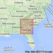
The Bays Formation is included in the Chickamauga Group in northwestern GA.
Source: GNU records (USGS DDS-6; Reston GNULEX).
- Usage in publication:
-
- Bays Formation
- Modifications:
-
- Areal extent
- AAPG geologic province:
-
- Appalachian basin
Summary:
Three Rocklandian K-bentonite beds occur in the Valley and Ridge province of southwest VA, southeast WV, and northeast TN. The older two are identified as the Deicke and Millbrig K-bentonite Beds, mapped previously in the Upper Mississippi Valley. The Millbrig and V-7 are present in the Bays Formation in the eastern belt, while the Deicke occurs in or just above the redbeds of the Moccasin Formation (Walker Mountain Sandstone [Member]) in the New River Valley and does not extend eastward into the Bays. At Hagan, and several other places in southwestern VA, the Deicke and Millbrig occur in the Eggleston Formation. Using the bentonites as time lines, it has been determined that the bases of the Eggleston, Bays, and Trenton ("Martinsburg") Formations become younger to the northeast. The Walker Mountain Sandstone Member of the Moccasin and Bays Formations also becomes younger to the northeast. Correlation charts. Cross sections. Measured sections in Appendix.
Source: GNU records (USGS DDS-6; Reston GNULEX).
For more information, please contact Nancy Stamm, Geologic Names Committee Secretary.
Asterisk (*) indicates published by U.S. Geological Survey authors.
"No current usage" (†) implies that a name has been abandoned or has fallen into disuse. Former usage and, if known, replacement name given in parentheses ( ).
Slash (/) indicates name conflicts with nomenclatural guidelines (CSN, 1933; ACSN, 1961, 1970; NACSN, 1983, 2005, 2021). May be explained within brackets ([ ]).