- Usage in publication:
-
- Bayou Calamus lentil
- Modifications:
-
- Original reference
- Dominant lithology:
-
- [not stated]
- AAPG geologic province:
-
- Arkla basin
Summary:
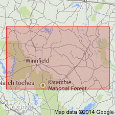
Pg. 159-161. Bayou Calamus lentil of Verde member of Yazoo clay. Term applied to fossiliferous marine lentil about 32 feet thick in Verda member; stratigraphically and lithologically similar to Saddle Bayou lentil described by Fisk (1938, Louisiana Geol. Survey Bull., no. 10) in Grant Parish; may be equivalent of Saddle Bayou, but the two units are separated by many miles of territory in which no similar beds occur. Age is Eocene (Jackson).
Typical exposures occur in erosion gully 75 yds east of road in SW/4 NW/4 sec. 24, T. 12 N., R. 4 E., Caldwell Parish. Named from exposures in ravines at head of Bayou Calamus, central LA.
Source: US geologic names lexicon (USGS Bull. 1200, p. 244).
For more information, please contact Nancy Stamm, Geologic Names Committee Secretary.
Asterisk (*) indicates published by U.S. Geological Survey authors.
"No current usage" (†) implies that a name has been abandoned or has fallen into disuse. Former usage and, if known, replacement name given in parentheses ( ).
Slash (/) indicates name conflicts with nomenclatural guidelines (CSN, 1933; ACSN, 1961, 1970; NACSN, 1983, 2005, 2021). May be explained within brackets ([ ]).

