

- Usage in publication:
-
- Bauers tuff member
- Modifications:
-
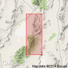
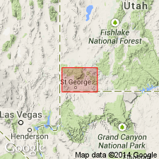
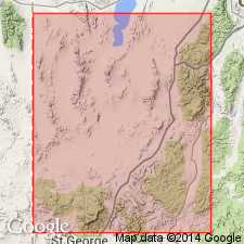
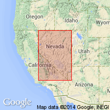
- Areal extent
- AAPG geologic province:
-
- Great Basin province
Summary:
Pg. 138 (fig. 3). Bauers tuff member of Quichapa formation. Geographically extended into eastern Nevada. [Age is Oligocene.]
Source: US geologic names lexicon (USGS Bull. 1200, p. 240-241).
- Usage in publication:
-
- Bauers tuff member
- Modifications:
-
- Areal extent
- AAPG geologic province:
-
- Great Basin province
Summary:
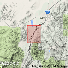
Pg. 18 (fig. 1), 37. Bauers tuff member of Quichapa formation. Described in Washington County, southwestern Utah, where it is as much as 200 feet thick. Overlies Leach Canyon tuff member; underlies Little Creek breccia member (new). [Age is Oligocene.]
Source: US geologic names lexicon (USGS Bull. 1200, p. 240-241).
- Usage in publication:
-
- Bauers tuff member
- Modifications:
-
- Original reference
- Dominant lithology:
-
- Tuff
- AAPG geologic province:
-
- Great Basin province
Summary:
Pg. 90, 91-94. Bauers tuff member of Quichapa formation. An ignimbrite that differs from younger Leach Canyon tuff member by (1) lower content of pyrogenic mineral grains, (2) absence of foreign rock fragments, and (3) higher induration. In about 95 percent of its outcrop, consists of three intergrading but sharply contrasted phases: basal vitrophyre, about 10 feet thick; middle lithoidal phase characterized by a conspicuous compaction foliation, 150 to 200 feet thick; and an upper nonfoliated lithoidal phase, 10 to 40 feet thick. At type locality, overlies Swett tuff member and underlies Harmony Hills tuff member (both new); elsewhere lava flows or other volcanic rocks of local origin and extent are present at contacts. Zircon age of Leach Canyon tuff member is 28 million years; this suggests that Quichapa formation is Oligocene. Discussion of ignimbrites of area.
Type locality: Bauers Knoll, Iron Springs district, Cedar City NW 7.5-min quadrangle, Iron Co., southwestern UT. Named from Bauers Knoll.
Source: US geologic names lexicon (USGS Bull. 1200, p. 240-241).
- Usage in publication:
-
- Bauers Ignimbrite Member
- Modifications:
-
- Revised
- AAPG geologic province:
-
- Great Basin province
Summary:
Bauers Ignimbrite, upper member of Condor Canyon Formation (new). Reassigned from Quichapa Formation. Overlies Swett Ignimbrite, basal member of Condor Canyon Formation. Underlies Harmony Hills Tuff. Thickness 58 to 257 feet. Age is Oligocene.
In Condor Canyon, Lincoln County, eastern Nevada, consists of highly welded, red-purple, vitric-crystal tuff with 16 feet of black glass at base, a foliated lithoidal middle zone, and an upper thin, pale purple lithoidal zone; total thickness 212 feet.
Source: Modified from GNU records (USGS DDS-6; Denver GNULEX).
- Usage in publication:
-
- Bauers Tuff Member*
- Modifications:
-
- Adopted
- AAPG geologic province:
-
- Great Basin province
Summary:
Bauers Tuff Member of the Quichapa Formation of Mackin (1960) is adopted by the USGS. Consists of: a basal vitrophyre, about 10 feet thick; a middle lithoidal unit characterized by conspicuous compaction foliation, 150 to 200 feet thick; and an upper, non-foliated lithoidal unit, 10 to 40 feet thick. Entire member is strongly indurated. Overlies Leach Canyon Tuff Member; underlies Harmony Hills Tuff Member (both of Quichapa Formation). Shown on geologic map of Kanarraville 7.5-min quadrangle, Iron County, Utah. Age is Oligocene or Miocene.
Type locality: Bauers Knoll, in sec. 3, T. 36 S., R. 12 W., Iron Springs district, Cedar City NW quadrangle, Iron Co., southwestern UT. Named from Bauers Knoll.
Source: Publication; Changes in stratigraphic nomenclature, 1967 (USGS Bull. 1274-A, p. A3); GNU records (USGS DDS-6; Menlo GNULEX).
- Usage in publication:
-
- Bauers Tuff Member*
- Modifications:
-
- Adopted
- AAPG geologic province:
-
- Great Basin province
Summary:
Pg. B10-B11 (fig. 2), B13; see also Anderson and Rowley, 1975, GSA Spec. Paper 160, p. 1-51. Bauers Tuff Member of Condor Canyon Formation of Quichapa Group is adopted by the USGS [following Williams, 1967, Univ. Washington PhD dissert.; Cook, 1965, Nevada Bur. Mines Rpt., no. 11]. Recognized in Utah and Nevada; notable exposures in Black Mountains and Markagunt Plateau. Is mostly pale red, pale purple, and light-gray, well-zoned, densely welded, crystal-poor tuff compound cooling unit. Overlies Swett Tuff Member of Condor Canyon Formation. Interfingers with volcanic breccia member of Mount Dutton Formation (alluvial facies). Numerous K-Ar age determinations (citing Armstrong, 1970, Geochemica et Cosmochimica Acta, v. 34; Fleck and others, 1975, GSA Spec. Paper 160, p. 53-62) indicate age is about 22 Ma, early Miocene.
Source: Publication; Changes in stratigraphic nomenclature, 1976 (USGS Bull. 1435-A, p. A5).
- Usage in publication:
-
- Bauers Tuff Member*
- Modifications:
-
- Areal extent
- Geochronologic dating
- AAPG geologic province:
-
- Great Basin province
Summary:
See also Best and Grant, 1987, USGS Prof. Paper 1433-A, p. A1-A28. Bauers Tuff Member of Condor Canyon Formation. Is a firmly welded low-silica rhyolite tuff. Thickness generally less than 20 m. Overlies Isom Formation; underlies and intertongues with Blawn Formation (new). Source is probably Caliente cauldron complex. Age is Miocene; 22.3 Ma (Fleck and others, 1975, GSA Spec. Paper 160; age corrected using Dalrymple, 1979, Geol., v. 7, p. 558-560 K-Ar decay constant conversion tables).
Notable exposures on east side of Wah Wah Mountains, Utah.
Source: Publication.
- Usage in publication:
-
- Bauers Tuff Member*
- Modifications:
-
- Mapped 1:48k
- AAPG geologic province:
-
- Great Basin province
Summary:
Bauers Tuff Member of Condor Canyon Formation. Consists of (ascending): (1) rarely exposed basal vitrophyre; (2) medium-purple to purplish-gray lithoidal zone with distinctive, whitish lentils of vapor-phase minerals (citing Williams, 1967); and (3) upper zone of light-gray to light-purplish-gray welded tuff. In places, unconformably underlies Harmony Hills Tuff. Age is Miocene.
Notable exposures north of Pahroc Summit and along east face of South Pahroc Range, Lincoln County, Nevada, in central and southern parts of map area.
Source: Publication; GNU records (USGS DDS-6; Menlo GNULEX).
- Usage in publication:
-
- Bauers Tuff Member*
- Modifications:
-
- Areal extent
- AAPG geologic province:
-
- Great Basin province
Summary:
Bauers Tuff Member of Condor Canyon Formation described in Seaman Range and Fox Mountain, Lincoln and Nye Counties, Nevada. Age is Miocene.
Source: GNU records (USGS DDS-6; Menlo GNULEX).
- Usage in publication:
-
- Bauers Tuff Member*
- Modifications:
-
- Geochronologic dating
- AAPG geologic province:
-
- Great Basin province
Summary:
Pg. L247-L248. Bauers Tuff Member of Condor Canyon Formation of Quichapa Group. Is a densely welded, crystal-poor, rhyolite ash-flow tuff derived from Clover Creek caldera, Nevada, in northern part of central Caliente caldera complex (citing Rowley and Siders [abs.], 1988, Eos, v. 69, no. 4; Rowley and others, 1992, USGS Bull. 2012-H; Rowley and others, 1995, USGS Bull. 2056). Age is [early] Miocene, based on a new K-Ar age (on biotite) of 22.6 +/-0.6 Ma; Oligocene-Miocene boundary placed at 24 Ma.
Sample (6BB17) collected from north side of Bull Mountain, 0.2 km south of Moody Wash and 0.2 km downstream from confluence of Moody Wash and Pilot Creek (Racer Canyon), in SE/4 NW/4 sec. 33. T. 38 S., R. 17 W.; Lat. 37 deg. 26 min. 27 sec. N., Long. 113 deg. 45 min. 43 sec. W.
Source: Publication.
For more information, please contact Nancy Stamm, Geologic Names Committee Secretary.
Asterisk (*) indicates published by U.S. Geological Survey authors.
"No current usage" (†) implies that a name has been abandoned or has fallen into disuse. Former usage and, if known, replacement name given in parentheses ( ).
Slash (/) indicates name conflicts with nomenclatural guidelines (CSN, 1933; ACSN, 1961, 1970; NACSN, 1983, 2005, 2021). May be explained within brackets ([ ]).