

- Usage in publication:
-
- Bathtub Graywacke*
- Modifications:
-
- Named
- Dominant lithology:
-
- Graywacke
- AAPG geologic province:
-
- Alaska Northern region
Summary:
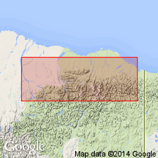
[Probably named for Bathtub Ridge] Type section designated as exposures in upper Kongakut River area 0.8 km west of type section for Kongakut Formation on north flank of Bathtub Ridge, 69 deg 05' 30"N to 69 deg 06' 15"N, 142 deg 18' 00"W, Demarcation Point quad, AK. Composed of gray to green fine to coarse grained, thin to massively bedded graywacke with interbeds of siltstone, shale, and conglomerate. Some units are cross-bedded and others graded. Thickness range is 750-1300 m. Unconformably overlies Kongakut Formation; underlies Tuktu Formation of Nanushuk Group. Age is Early Cretaceous (Albian) based on faunal remains in underlying and overlying beds.
Source: GNU records (USGS DDS-6; Menlo GNULEX).
For more information, please contact Nancy Stamm, Geologic Names Committee Secretary.
Asterisk (*) indicates published by U.S. Geological Survey authors.
"No current usage" (†) implies that a name has been abandoned or has fallen into disuse. Former usage and, if known, replacement name given in parentheses ( ).
Slash (/) indicates name conflicts with nomenclatural guidelines (CSN, 1933; ACSN, 1961, 1970; NACSN, 1983, 2005, 2021). May be explained within brackets ([ ]).