- Usage in publication:
-
- Bateman Formation
- Modifications:
-
- Named
- Dominant lithology:
-
- Sandstone
- AAPG geologic province:
-
- Oregon-Washington Coast Ranges province
Summary:
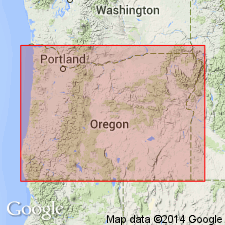
Named for Bateman Lookout in Tyee quad. Type section designated as exposures along Rader Creek and Waggoner Creek roads between Old Blue Lookout and Rainy Peak in south part of Elkton quad, Douglas Co, southwest OR. Composed of gray sandstone containing coal beds. Unit is cross-bedded and current sorted marine and continental deposits. Attains 460 m thickness. Overlies Elkton Formation. Is late Eocene age.
Source: GNU records (USGS DDS-6; Menlo GNULEX).

- Usage in publication:
-
- Bateman Formation
- Modifications:
-
- Age modified
- AAPG geologic province:
-
- Oregon-Washington Coast Ranges province
Summary:
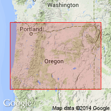
Megafossils in Bateman Formation are rare but late middle to early late Eocene age is indicated by stratigraphic position. Microfossils (foraminifers) were reported by Bird (written commun, June 20, 1967) from beds along ridge east of Ivers Peak. Microfauna indicated late Ulatisian age and deposition at shelf depths, probably between 200 and 600 ft.
Source: GNU records (USGS DDS-6; Menlo GNULEX).
For more information, please contact Nancy Stamm, Geologic Names Committee Secretary.
Asterisk (*) indicates published by U.S. Geological Survey authors.
"No current usage" (†) implies that a name has been abandoned or has fallen into disuse. Former usage and, if known, replacement name given in parentheses ( ).
Slash (/) indicates name conflicts with nomenclatural guidelines (CSN, 1933; ACSN, 1961, 1970; NACSN, 1983, 2005, 2021). May be explained within brackets ([ ]).

