- Usage in publication:
-
- Bat Cave limestone
- Modifications:
-
- Original reference
- AAPG geologic province:
-
- Orogrande basin
Summary:
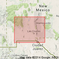
Pg. 2201 (table). Bat Cave limestone, upper formation of El Paso group. On table only. Thickness from fraction of a foot to over 1,000 feet. Underlies Cable Canyon sandstone of Montoya group; overlies Sierrite limestone of El Paso group. No lithologic description included. Located near Sierrite mine, in E/2 T. 15 S., R. 4 W., Caballo Mountains, Sierra County, New Mexico. Age is Early Ordovician.
Source: US geologic names lexicon (USGS Bull. 1200, p. 235); supplemental information from GNU records (USGS DDS-6; Denver GNULEX).
- Usage in publication:
-
- Bat Cave formation
- Modifications:
-
- Principal reference
- Dominant lithology:
-
- Limestone
- AAPG geologic province:
-
- Orogrande basin
Summary:
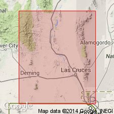
Pg. 45-52, 53, fig. 4. Bat Cave formation of El Paso group. At type section, formation composed of a lower light-colored slope-forming unit and an upper somewhat darker and banded cliff-forming unit. Lower unit contains many biostromes and bioherms distributed irregularly in thin- to medium-bedded limestone. Biostromes and bioherms predominantly stromatolitic and surrounded and interspersed with much detrital limestone. Stromatolitic rock is light- to medium-gray and weathers very light-gray. Upper unit consists of medium- to thick-bedded alternating dark- and medium-gray limestone, dolomitic limestone, and some dolomite. Most beds are very fine-grained. Chert occasionally present in beds or intervals as nodules and bands. Chert weathered light-brown to dark-brown. A few beds in upper unit are biostromal. Solution caverns commonly exposed in cliffs of upper unit, and large masses of collapse breccia present. Thickness ranges irregularly from 216 feet at Molinas Canyon to 305 feet at Mud Springs Mountains. Unconformably underlies Cable Canyon sandstone; conformably overlies Sierrite limestone. Type location and areal distribution indicated. Fossils sparse. Age is Early Ordovician (Canadian), based on biostratigraphic correlations.
Type locality: north side of Cable Canyon, [in E/2 sec. 10, T. 16 S., R. 4 W.], Caballo Mountains, Sierra Co., southwestern NM. Formation named from Bat Cave whose opening is prominent landscape mark on sheer cliff in upper part of unit, a few hundred yards northwest of type section.
Source: US geologic names lexicon (USGS Bull. 1200, p. 235); supplemental information from GNU records (USGS DDS-6; Denver GNULEX).
- Usage in publication:
-
- Bat Cave Member
- Modifications:
-
- Areal extent
- AAPG geologic province:
-
- Pedregosa basin
Summary:
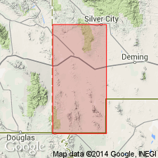
Bat Cave Member, upper member of El Paso Formation. Overlies Sierrite Member of El Paso Formation. In Mescal Canyon and Ram Gorge, disconformably underlies Montoya Dolomite. Fossiliferous (trilobites, gastropods, cephalopods, stromatolites). Age is Early Ordovician (Canadian).
Measured sections: Mescal Canyon, in NE/4 SE/4 sec. 29, T. 30 S., R. 15 W., 725 feet thick; Ram Gorge, in sec. 20, T. 30 S., R. 15 W., 712 feet thick; and Chaney Canyon, in secs. 31 and 36, T. 30 S., R. 16 W., 339 feet thick.
Source: Modified from GNU records (USGS DDS-6; Denver GNULEX).
- Usage in publication:
-
- Bat Cave Formation*
- Modifications:
-
- Mapped
- Areal extent
- AAPG geologic province:
-
- Orogrande basin
Summary:
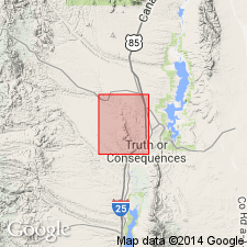
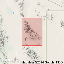
Bat Cave Formation of El Paso Group. Recognized on west flank of Mud Springs Mountains, Sierra County, New Mexico. Previously mapped as Hitt Canyon Formation and McKelligon Limestone, both of El Paso Group, by Hayes and Cone (USGS Prof. Paper 873, 1975). Lower part slope-forming, thin- to medium-bedded, gray stromatolitic biostrome and detrital limestone with nodular chert. Upper part massive, medium- to thick-bedded, gray, very fine-grained limestone, dolomitic limestone, and dolomite with brown-weathering chert bands and nodules. Overlies Sierrite Limestone of El Paso Group; underlies Second Value Dolomite of Montoya Group. Age is Early Ordovician.
Source: Modified from GNU records (USGS DDS-6; Denver GNULEX).
- Usage in publication:
-
- Bat Cave Member
- Modifications:
-
- Not used
- AAPG geologic province:
-
- Pedregosa basin
Summary:
Bat Cave Member of El Paso Formation. Not recognized in Big Hatchet Mountains, Hidalgo County, New Mexico; previously described by Zeller (1965).
Source: Publication.
For more information, please contact Nancy Stamm, Geologic Names Committee Secretary.
Asterisk (*) indicates published by U.S. Geological Survey authors.
"No current usage" (†) implies that a name has been abandoned or has fallen into disuse. Former usage and, if known, replacement name given in parentheses ( ).
Slash (/) indicates name conflicts with nomenclatural guidelines (CSN, 1933; ACSN, 1961, 1970; NACSN, 1983, 2005, 2021). May be explained within brackets ([ ]).

