- Usage in publication:
-
- Bassick agglomerate*
- Modifications:
-
- Original reference
- Dominant lithology:
-
- Agglomerate
- AAPG geologic province:
-
- Las Vegas-Raton basin
Summary:
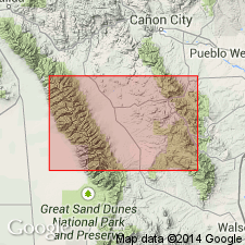
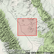
Pg. 307. Bassick agglomerate. Volcanic agglomerate, 1,400+/- feet thick, composing Bassick Hill and greater part of Mount Tyndall, Custer County, central southern Colorado. The rock that is predominant among the fragments of the agglomerate is an andesite closely allied to both Rosita and Bunker types. Seems likely to be last of sequence of igneous rocks of Silver Cliff-Rosita Hills region. Age is Tertiary.
Source: US geologic names lexicon (USGS Bull. 896, p. 124).

- Usage in publication:
-
- Bassick Agglomerate
- Modifications:
-
- Not used
Summary:
Considered to be part of the Rosita Andesite of Cross (1896). Cross was probably "handicapped by the hydrothermal alteration around Rosita and the Bassick mine." Term Bassick Agglomerate not used.
Source: GNU records (USGS DDS-6; Denver GNULEX).

- Usage in publication:
-
- Bassick Agglomerate†
- Modifications:
-
- Abandoned
- AAPG geologic province:
-
- Las Vegas-Raton basin
Summary:
Is a phase of the Rosita Andesite. Bassick therefore abandoned as a formal name in Custer Co., CO in the Las Vegas-Raton basin.
Source: GNU records (USGS DDS-6; Denver GNULEX).
For more information, please contact Nancy Stamm, Geologic Names Committee Secretary.
Asterisk (*) indicates published by U.S. Geological Survey authors.
"No current usage" (†) implies that a name has been abandoned or has fallen into disuse. Former usage and, if known, replacement name given in parentheses ( ).
Slash (/) indicates name conflicts with nomenclatural guidelines (CSN, 1933; ACSN, 1961, 1970; NACSN, 1983, 2005, 2021). May be explained within brackets ([ ]).

