The National Geologic Map Database is migrating to a new infrastructure. We apologize for any service disruptions during this process.
|
|---|


- Usage in publication:
-
- Bass Islands series*
- Modifications:
-
- Named
- Dominant lithology:
-
- Dolomite
- Shale
- Limestone
- AAPG geologic province:
-
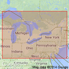
- Michigan basin
Summary:
Named Bass Islands series. Unit disconformably underlies the Sylvania sandstone and overlies the Salina. The Bass Islands includes (descending) the Raisin River dolomite (200 feet), the Put-in-Bay dolomites (100 feet), Greenfield dolomite (100 feet), and the Tymochtee shales and limestones (100 feet), which may represent in part one or more members recognized elsewhere. Age is Silurian.
Named from group of islands in western Lake Erie.
Source: GNU records (USGS DDS-6; Reston GNULEX).
For more information, please contact Nancy Stamm, Geologic Names Committee Secretary.
Asterisk (*) indicates published by U.S. Geological Survey authors.
"No current usage" (†) implies that a name has been abandoned or has fallen into disuse. Former usage and, if known, replacement name given in parentheses ( ).
Slash (/) indicates name conflicts with nomenclatural guidelines (CSN, 1933; ACSN, 1961, 1970; NACSN, 1983, 2005, 2021). May be explained within brackets ([ ]).