The National Geologic Map Database is migrating to a new infrastructure. We apologize for any service disruptions during this process.
|
|---|


- Usage in publication:
-
- Basin shale
- Modifications:
-
- Original reference
- Dominant lithology:
-
- Shale
- AAPG geologic province:
-
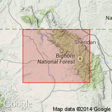
- Bighorn basin
Summary:
Pg. 17, 24-29. Basin shale. Marine shales, dark colored, containing calcareous concretions and many Niobrara fossils in upper half. The large brown sandy concretions at base are highly fossiliferous. There is at base a persistent conglomerate 2 feet thick. Thickness of formation 900 to 1,000 feet. Rests disconformably (erosion) on Torchlight sandstone member of Benton, and underlies Pierre shale, which is overlain by Eagle sandstone [Parkman sandstone]. [In Wyoming State Geol. Bull., no. 11, 1915, on Little Buffalo basin, Hintze gave thickness as 1,200 to 1,250 feet.] Age is Late Cretaceous.
[GNC remark (ca. 1936, US geologic names lexicon, USGS Bull. 896, p. 123): As above defined, this unit includes Carlile and Niobrara shales of present nomenclature, the overlying so-called Pierre shale of Hintze being the Steele shale of current nomenclature.]
Source: US geologic names lexicon (USGS Bull. 896, p. 123).
For more information, please contact Nancy Stamm, Geologic Names Committee Secretary.
Asterisk (*) indicates published by U.S. Geological Survey authors.
"No current usage" (†) implies that a name has been abandoned or has fallen into disuse. Former usage and, if known, replacement name given in parentheses ( ).
Slash (/) indicates name conflicts with nomenclatural guidelines (CSN, 1933; ACSN, 1961, 1970; NACSN, 1983, 2005, 2021). May be explained within brackets ([ ]).