- Usage in publication:
-
- Basin Creek member*
- Modifications:
-
- Principal reference
- Dominant lithology:
-
- Sandstone
- Shale
- AAPG geologic province:
-
- Alaska Southern region
Summary:
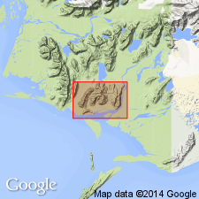
Pg. 7 (table), 9-10, geol. map. Basin Creek member of Katalla formation. Alternating beds of very fine grained massive gray sandstone and gray sandy shale. Beds range in thickness from 1 to 50 feet and average about 10 feet for sandstone and 25 feet for shale. Some sandstone beds are glauconitic. Shale contains many round calcareous concretions from 1 to 6 inches in diameter at least 40 percent of which contain fossil crabs. Thickness 550 to 1,000 feet; average about 700 feet. Underlies Burls Creek shale member; overlies Split Creek sandstone member. Age is Oligocene. Name first used as member of Burls Creek formation in unpublished manuscript by oil-company geologists.
[Named from Basin Creek, Katalla area, southeastern AK, where member is well exposed.]
Source: US geologic names lexicon (USGS Bull. 1200, p. 231).

- Usage in publication:
-
- Basin Creek member*
- Modifications:
-
- Mapped
- Dominant lithology:
-
- Sandstone
- Shale
- AAPG geologic province:
-
- Alaska Southern region
Summary:
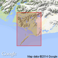
Pg. 23 (table 1), 28-30, pls. Basin Creek member of Katalla formation [= classification of Miller and others, 1945, USGS OF-45-103]. Consists of alternating beds of very fine-grained massive gray sandstone and gray sandy shale. Some sandstone beds are glauconitic. Shale contains round calcareous concretions, 40 percent of which include fossil crab EUMORPHOCORYSTES NASELENSIS Rathbun identified by H.B. Stenzel. Gastropods, pelecypods and some plant remains present in member. Thickness 550 to 1,000 feet. Conformably overlies Split Creek sandstone member; conformably underlies Burl Creek shale member (both of Katalla formation). Tentatively correlated with Poul Creek formation of adjacent Yakataga district and Pittsburg Bluff age rocks of Oregon and Washington. [Age is Oligocene.]
Recognized in Katalla area, Controller Bay region, southeastern AK.
Source: Publication; GNU records (USGS DDS-6; Menlo GNULEX).

- Usage in publication:
-
- Basin Creek Member*
- Modifications:
-
- Principal reference
- AAPG geologic province:
-
- Alaska Southern region
Summary:
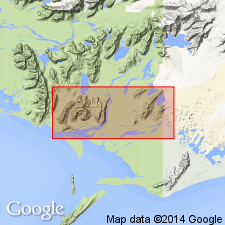
Basin Creek Member of Katalla Formation. Gray, hard, very fine-grained, massive sandstone interbedded with softer massive siltstone containing abundant "cannonball" concretions. Thickness 550 to about 1,000 feet. Overlies Split Creek Sandstone Member and underlies Burls Creek Shale Member (both of Katalla). Fossils. [Assigns age of middle Oligocene (map legend). Prelim. studies of mollusks (by F.S. MacNeil, USGS) indicate the Basin Creek is probably lower Blakeley (late Oligocene) and possibly upper Lincoln (middle Oligocene). Prelim. studies of crabs (by H.B. Stenzel, USGS, ca. 1945) indicate Lincoln Stage.] Type locality and reference section designated.
Type locality: exposures in valley of Basin Creek, Katalla district, Controller Bay region, southern AK.
Reference section: ridge forming drainage divide between valleys of Split Creek, Redwood Creek, and Burls Creek, where unit is typically developed and well exposed.
Source: Publication; GNU records (USGS DDS-6; Menlo GNULEX).

- Usage in publication:
-
- Basin Creek Member*
- Modifications:
-
- Revised
- AAPG geologic province:
-
- Alaska Southern region
Summary:
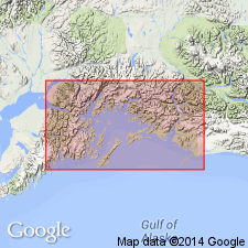
Basin Creek Member reassigned to Poul Creek Formation due to abandonment of Katalla Formation in favor of Poul Creek Formation. [Age remains middle Oligocene.]
Source: GNU records (USGS DDS-6; Menlo GNULEX).
For more information, please contact Nancy Stamm, Geologic Names Committee Secretary.
Asterisk (*) indicates published by U.S. Geological Survey authors.
"No current usage" (†) implies that a name has been abandoned or has fallen into disuse. Former usage and, if known, replacement name given in parentheses ( ).
Slash (/) indicates name conflicts with nomenclatural guidelines (CSN, 1933; ACSN, 1961, 1970; NACSN, 1983, 2005, 2021). May be explained within brackets ([ ]).

