

- Usage in publication:
-
- Barlow Pass volcanics
- Modifications:
-
- Original reference
- AAPG geologic province:
-
- Puget Sound province
Summary:
Pg. 1985. Barlow Pass volcanics. About 4,000 feet of gently folded andesitic and basaltic and subordinately acidic flows, with prominent arkosic interbeds.
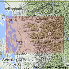
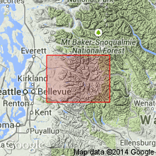
Occurs in Sauk River area in northern Cascades, north-central WA.
Source: US geologic names lexicon (USGS Bull. 1200, p. 215).
- Usage in publication:
-
- Barlow Pass Volcanics of Vance (1957)
Summary:
Not compiled to date. Publication available online: http://ngmdb.usgs.gov/Prodesc/proddesc_10042.htm
Barlow Pass Volcanics of Vance (1957). Age is late and middle Eocene.
Source: Publication.
For more information, please contact Nancy Stamm, Geologic Names Committee Secretary.
Asterisk (*) indicates published by U.S. Geological Survey authors.
"No current usage" (†) implies that a name has been abandoned or has fallen into disuse. Former usage and, if known, replacement name given in parentheses ( ).
Slash (/) indicates name conflicts with nomenclatural guidelines (CSN, 1933; ACSN, 1961, 1970; NACSN, 1983, 2005, 2021). May be explained within brackets ([ ]).