

- Usage in publication:
-
- Barela Alluvium*
- Modifications:
-
- Named
- Dominant lithology:
-
- Gravel
- AAPG geologic province:
-
- Las Vegas-Raton basin
Summary:
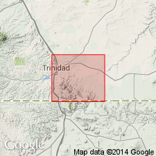
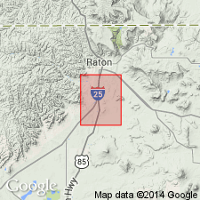
Named for exposures near town of Barela, Las Animas Co, CO in Las Vegas-Raton basin. Name adapted from name Barilla surface (a misspelling of place name--Levings, 1951, Late Cenozoic erosional history of the Raton Mesa region: Colorado School of Mines Quarterly, v. 46, no. 3). Type locality designated in sec 5, T34S, R61W. Composed of boulders, cobbles, pebbles, and sand that covers pediments and caps terraces along Purgatoire River. Has a well-developed soil in upper part. Averages about 20 ft (6 m) in thickness. Its height above major streams ranges from 40 to 130 ft (12 to 40 m). Deposited by perennial or intermittent streams in early middle Pleistocene or interglacial time, about 120,000 to 130,000 years ago. Forms a sloping gravel deposit that covers lowest pediments in Las Vegas-Raton basin.
Source: GNU records (USGS DDS-6; Denver GNULEX).
- Usage in publication:
-
- Barela Alluvium*
- Modifications:
-
- Age modified
- AAPG geologic province:
-
- Las Vegas-Raton basin
Summary:
Age modified from early middle Pleistocene to early late Pleistocene based on Richmond's (1985, Quaternary Science Review, v.5, p.99-127) subdivision of the Pleistocene; probably deposited during interglacial time, about 130,000-120,000 years ago. Probably equivalent to Slocum Alluvium of Colorado Front Range.
Source: GNU records (USGS DDS-6; Denver GNULEX).
For more information, please contact Nancy Stamm, Geologic Names Committee Secretary.
Asterisk (*) indicates published by U.S. Geological Survey authors.
"No current usage" (†) implies that a name has been abandoned or has fallen into disuse. Former usage and, if known, replacement name given in parentheses ( ).
Slash (/) indicates name conflicts with nomenclatural guidelines (CSN, 1933; ACSN, 1961, 1970; NACSN, 1983, 2005, 2021). May be explained within brackets ([ ]).