The National Geologic Map Database is migrating to a new infrastructure. We apologize for any service disruptions during this process.
|
|---|


- Usage in publication:
-
- Barber Member
- Modifications:
-
- Original reference
- Dominant lithology:
-
- Limestone
- Dolomite
- AAPG geologic province:
-
- Chautauqua platform
Summary:
Pg. 43-47, 95, pIs. A, B. Barber Member of Quarry Mountain Formation. Proposed for lower dolomitic member of Quarry Mountain Formation (new). Characteristically dolomitic limestone with numerous beds of calcitic dolomite. Weathers light to medium gray. Thickness 52 feet at type locality (based upon surface exposures plus data from corehole). Underlies Marble City Member (new); overlies Tenkiller Formation (new). Age is Late(?) Silurian.
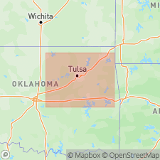
Type locality: along a small tributary of Dry Creek in Cherokee Co., northeastern OK, about 3 mi southeast of Barber, in SE/4 NW/4 NE/4 sec. 2, T. 14 N., R. 23 E.
Source: US geologic names lexicon (USGS Bull. 1350, p. 45-46).
For more information, please contact Nancy Stamm, Geologic Names Committee Secretary.
Asterisk (*) indicates published by U.S. Geological Survey authors.
"No current usage" (†) implies that a name has been abandoned or has fallen into disuse. Former usage and, if known, replacement name given in parentheses ( ).
Slash (/) indicates name conflicts with nomenclatural guidelines (CSN, 1933; ACSN, 1961, 1970; NACSN, 1983, 2005, 2021). May be explained within brackets ([ ]).