The National Geologic Map Database is migrating to a new infrastructure. We apologize for any service disruptions during this process.
|
|---|


- Usage in publication:
-
- Baraboo quartzite ranges
- Modifications:
-
- Original reference
- Dominant lithology:
-
- Quartzite
- Metaconglomerate
- Schist
- Conglomerate
- AAPG geologic province:
-
- Wisconsin arch
Summary:
Pg. 504-519, 539, 542. Baraboo quartzite ranges. The rock constituting the great body of the Baraboo ranges is a quartzite of nongranular, usually flaky, texture, and of color from nearly white, through gray, pink, and amethyst, to purplish red and even brick-red, the gray and deep red being most common, the white the least common. Very rarely a distinct granular texture is seen. The quartzite is very distinctly laminated, the lamination contorted. Next in abundance to the quartzite, and merging into it are heavy beds of a fine metamorphic conglomerate, usually of grayish to amethystine color; the matrix and pebbles of quartzite are not always well defined from one another. A peculiar greasy-surfaced quartz schist forms thin layers between the thick layers of quartzite. Other quartz schists of different character form the lowest layers of the north quartzite range. [Age is pre-Cambrian (middle? Huronian).]
Source: US geologic names lexicon (USGS Bull. 896, p. 110-111).
- Usage in publication:
-
- Baraboo quartzite
- Modifications:
-
- Areal extent
- AAPG geologic province:
-
- Lake Superior region
Summary:
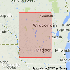
Occurs on map showing quartzites that may be related to the McCaslin quartzite (first used) in WI. Mapped areal extent in vicinity of Baraboo, Sauk Co, WI (Lake Superior region). Other quartzites shown on the map include: Barron, Flambeau, McCaslin, Palms, Rib Mountain, Rudolph, and Sturgeon quartzites. Age is not stated.
Source: GNU records (USGS DDS-6; Denver GNULEX).

- Usage in publication:
-
- Baraboo Quartzite*
- Modifications:
-
- Age modified
- AAPG geologic province:
-
- Lake Superior region
Summary:
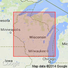
Outcrops in southern WI in Lake Superior region; widely present in subsurface over much of the southern part of the Lake Superior province. Is part of thick quartzite sequence of Early Proterozoic age. Overlies rhyolitic rocks dated at 1,760 m.y. and possibly deformed by 1630 m.y. Age changed from Precambrian or middle Precambrian to Early Proterozoic. Correlation chart.
Source: GNU records (USGS DDS-6; Denver GNULEX).
- Usage in publication:
-
- Baraboo Formation
- Modifications:
-
- Areal extent
- Dominant lithology:
-
- Phyllite
- AAPG geologic province:
-
- Wisconsin arch
Summary:
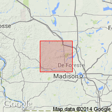
Name Baraboo Formation is here applied only to quartzite of the Baraboo Hills in Sauk and Columbia Cos. and not to similar quartzite elsewhere in southern WI. Consists primarily of subrounded to angular quartz grains, very fine to fine sand in size. Total exposed thickness approximately 1.5 km. Color ranges from white to dark gray, often with pink, red, or purple tinge. Described as true quartzite, subjected to low-grade metamorphism and partially or completely recrystallized. Unit here is subdivided into lower, middle, and upper members following Henry (1975). Lower unit (60 to 200 m) is fine to very coarse sand with abundant pebbly beds; middle unit (400 to 500 m) is quartzite with abundant thin phyllite beds; upper unit (750 m) is pink to purplish-red quartzite with abundant phyllite beds up to 2 m thick each. Middle unit characterized by low-angle cross-beds; upper unit by high-angle cross-beds, ripple marks, distorted, and overturned beds. Underlies Seeley Formation; lower contact unknown. Age shown as Early Proterozoic.
Source: GNU records (USGS DDS-6; Reston GNULEX).
For more information, please contact Nancy Stamm, Geologic Names Committee Secretary.
Asterisk (*) indicates published by U.S. Geological Survey authors.
"No current usage" (†) implies that a name has been abandoned or has fallen into disuse. Former usage and, if known, replacement name given in parentheses ( ).
Slash (/) indicates name conflicts with nomenclatural guidelines (CSN, 1933; ACSN, 1961, 1970; NACSN, 1983, 2005, 2021). May be explained within brackets ([ ]).