

- Usage in publication:
-
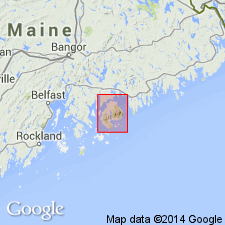
- Bar Harbor series*
- Modifications:
-
- Named
- Dominant lithology:
-
- Slate
- Quartzite
- Shale
- Flags
- AAPG geologic province:
-
- New England province
Summary:
Bar Harbor series is sequence of thick-bedded flaggy slates and associated bedded quartzites and felsites with very numerous injections of various igneous rocks. Predominantly quartzose and argillaceous slates, shales, and flags. Near Rodick's Cove and in some other places they consist in the main of bluish green and purple shales. At some points the beds are crowded with siliceous concretions. Found on north and east shores of Mount Desert from Rodick's Cove to the Ovens. No trace of fossils. Author feels series represents youngest beds on the island. Majority of Mount Desert rocks are probably Cambrian or older.
Source: GNU records (USGS DDS-6; Reston GNULEX).
- Usage in publication:
-
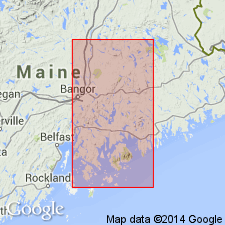
- Bar Harbor Formation
- Modifications:
-
- Revised
- Age modified
- Redescribed
- Dominant lithology:
-
- Siltstone
- Sandstone
- Conglomerate
- AAPG geologic province:
-
- New England province
Summary:
Bar Harbor Series of Shaler (1889) is here formally changed to Formation rank. Unit is 2000 ft of well-bedded siltstone sandstone, and conglomerate. Basal conglomerate measures approximately 450 ft. Weathers tan-gray-lavender, rusty. Overlies unnamed greenstone and Ellsworth Schist. Age probably Middle Silurian.
Source: GNU records (USGS DDS-6; Reston GNULEX).
For more information, please contact Nancy Stamm, Geologic Names Committee Secretary.
Asterisk (*) indicates published by U.S. Geological Survey authors.
"No current usage" (†) implies that a name has been abandoned or has fallen into disuse. Former usage and, if known, replacement name given in parentheses ( ).
Slash (/) indicates name conflicts with nomenclatural guidelines (CSN, 1933; ACSN, 1961, 1970; NACSN, 1983, 2005, 2021). May be explained within brackets ([ ]).