

- Usage in publication:
-
- Bancroft Springs Basalt*
- Modifications:
-
- Original reference
- Dominant lithology:
-
- Basalt
- AAPG geologic province:
-
- Snake River basin
Summary:
Pg. 1199 (fig. 1), 1216, pI. 1. Bancroft Springs Basalt of Snake River Group. Fresh olivine basalt with many large phenocrysts of plagioclase arranged in rosettes. At type locality consists of columnar lava, at least 300 feet thick, that lies in a former canyon about as deep as present Snake River Canyon. Basalt extends eastward from Bancroft Springs, forming upland plain cropping out as rimrock of columnar lava on northern canyon rim as far upstream as Malad Canyon where it overlies Madson and Thousand Springs basalts. Columnar lava of the Bancroft Springs was considered by Stearns and others (1938, USGS Water-Supply Paper 744) as part of recognizably younger McKinney Basalt which is herein restricted to the Recent lava flow from McKinney Butte. From Malad Canyon to 7 miles downstream the columnar rimrock lies on pillow lava that is in the Bancroft Springs. This pillow lava is as much as 500 feet thick and lies in canyon as deep as the present. The base of the basalt is lower than grade of Crowsnest Gravel (new). Pillow lava was termed Bliss Basalt by Stearns and others (1938) but name is herein abandoned. Stratigraphic relation to Sand Springs Basalt is indefinite; the two are nowhere in contact. Underlies Melon Grayel (new). Source of basalt probably located about 8 miles northwest of Gooding and has been concealed by Recent basalt. Age is late Pleistocene. Report includes stratigraphic chart.
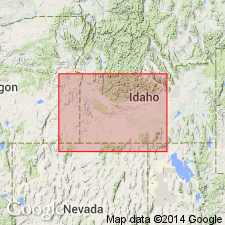
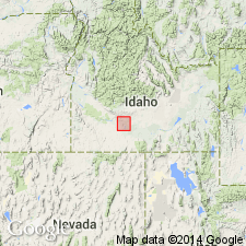
Type locality: Bancroft Springs which issue from talus slope near base of basalt in northeastern wall of Snake River Canyon, 7 mi east of Glenns Ferry, Elmore Co., southwestern ID.
Source: US geologic names lexicon (USGS Bull. 1350, p. 44; supplemental information from GNU records (USGS DDS-6; Denver GNULEX).
- Usage in publication:
-
- Bancroft Springs Basalt†
- Modifications:
-
- Abandoned
- AAPG geologic province:
-
- Snake River basin
Summary:
†Bancroft Springs Basalt of Snake River Group. Rocks now considered part of McKinney Basalt of Snake River Group. The columnar basalts and pillow lava included in the McKinney and †Bliss Basalts, respectively, by Stearns (1936) and Stearns and others (1938), and later termed Bancroft Springs by Malde and Powers (1962) are here considered part of the same flow, based on paleomagnetic studies (see section on paleomagnetism by Allan Cox, p. F19-F20) and stratigraphic relations, and are included in the McKinney. [Adopted by the USGS (see Changes in stratigraphic nomenclature, 1971, USGS Bull. 1372-A, p. A2-A3).]
Source: Publication; Changes in stratigraphic nomenclature, 1971 (USGS Bull. 1372-A, p. A2-A3).
For more information, please contact Nancy Stamm, Geologic Names Committee Secretary.
Asterisk (*) indicates published by U.S. Geological Survey authors.
"No current usage" (†) implies that a name has been abandoned or has fallen into disuse. Former usage and, if known, replacement name given in parentheses ( ).
Slash (/) indicates name conflicts with nomenclatural guidelines (CSN, 1933; ACSN, 1961, 1970; NACSN, 1983, 2005, 2021). May be explained within brackets ([ ]).