The National Geologic Map Database is migrating to a new infrastructure. We apologize for any service disruptions during this process.
|
|---|


- Usage in publication:
-
- Baldwin Corner formation
- Modifications:
-
- First used
- Dominant lithology:
-
- Dolomite
- Limestone
- AAPG geologic province:
-
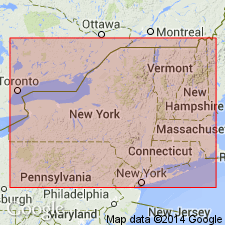
- New England province
Summary:
Baldwin Corner formation (of R.H. Flower, unpub. ms) described as gray or yellow earthy fine-grained dolomite with persistent limestone layers near middle and at base. Thickness 120 ft. Underlies Great Meadows formation (new name); overlies Whitehall formation. Formerly included in Whitehall formation.
Source: GNU records (USGS DDS-6; Reston GNULEX).
For more information, please contact Nancy Stamm, Geologic Names Committee Secretary.
Asterisk (*) indicates published by U.S. Geological Survey authors.
"No current usage" (†) implies that a name has been abandoned or has fallen into disuse. Former usage and, if known, replacement name given in parentheses ( ).
Slash (/) indicates name conflicts with nomenclatural guidelines (CSN, 1933; ACSN, 1961, 1970; NACSN, 1983, 2005, 2021). May be explained within brackets ([ ]).