

- Usage in publication:
-
- Baldhills member
- Modifications:
-
- Original reference
- Dominant lithology:
-
- Porphyry
- AAPG geologic province:
-
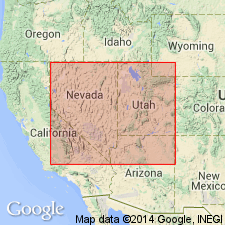
- Great Basin province
Summary:
Pg. 90 (table 1), 99. Baldhills member of Isom formation. Porphyry of latitic composition, glassy to lithoidal in texture, black to dark red brovm in color, with strong platy parting and blocky fracture. Exhibits some features of ignimbrites of very highly welded type, but has some internal structural features indicative of viscous flow. Lower member of formation; underlies Hole-in-the-Wall member (new). Discussion of ignimbrites of area. Age is Eocene(?) or early(?) Oligocene.
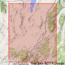
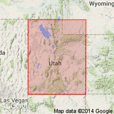
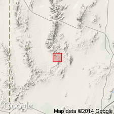
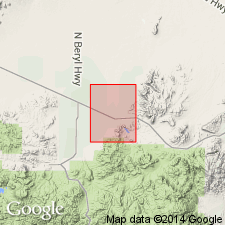
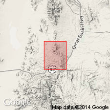
Named from occurrence in Baldhills ridge, which trends northward from type locality of Isom Formation, Three Peaks 7.5-min quadrangle, Iron Springs district, [Iron Co.], southwestern UT.
Source: US geologic names lexicon (USGS Bull. 1200, p. 201).
- Usage in publication:
-
- Baldhills Member
- Modifications:
-
- Mapped
- AAPG geologic province:
-
- Great Basin province
Summary:
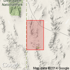
Mapped in Needles Range, western Utah. Exposed in few sq mi in southeast portion of study area near Indian Peak. Thickness is from 30 to 35 ft. Overlies Wah Wah Spring member of Needles Range. Underlies Hole-In-The-Wall member of Isom formation. Assigned Oligocene age.
Source: GNU records (USGS DDS-6; Menlo GNULEX).
- Usage in publication:
-
- Baldhills member
- Modifications:
-
- Age modified
- AAPG geologic province:
-
- Great Basin province
Summary:
Whole rock sample from latite porphyry flow south of Three Peaks, UT (37 deg 42' 35"N and 113 deg 12' 5"W) gave K-Ar age of 25.0 +/-0.5 Ma. Age may be younger than expected due to Ar loss of approximately 10%. (27 Ma would be expected based on stratigraphy).
Source: GNU records (USGS DDS-6; Menlo GNULEX).
- Usage in publication:
-
- Baldhills Tuff Member*
- Modifications:
-
- Mapped 1:24k
- AAPG geologic province:
-
- Great Basin province
Summary:
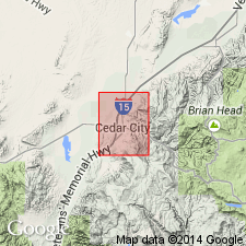
Mapped and geographically extended into Cedar City 7.5' quad, Iron Co., UT. Exposed in 4 small isolated outcrops in quad. K-Ar age determination by Armstrong (1970) of 25.0 +/-0.5 Ma is interpreted as "latest Oligocene or earliest Miocene".
Source: GNU records (USGS DDS-6; Menlo GNULEX).
- Usage in publication:
-
- Baldhills Tuff Member
- Modifications:
-
- Geochronologic dating
- Age modified
- Revised
- AAPG geologic province:
-
- Great Basin province
Summary:
Name changed from Baldhills Member to Baldhills Tuff Member of Isom Formation. Generally overlies Needles Range Formation. Assigned as basal member of Isom in southwest Black Mountains where it underlies Hole-In-The-Wall Tuff Member of Isom. Only member of Isom present in northern Black Mountains where it underlies Mount Dutton Formation. Is upper member of Isom on Markagunt Plateau where it overlies Blue Meadows Tuff Member of Isom and underlies Buckskin Breccia (new). Revised to include previously unnamed underlying ash-flow tuff and lava flows exposed in Iron Springs district. Best exposed in Bald Hills and southwestern Black Mountains, Iron Co, UT in Great Basin province where it includes 6 cooling units. Units are dark brown, gray or purple, vitric or vitric-crystal welded tuffs with 5-20 percent phenocrysts of plagioclase, minor pyroxene, and magnetite. Several units have thin black vitrophyres at their bases. Some are of ash-flow and some are lava-flow in origin. On Markagunt Plateau, Baldhills is chocolate-brown to purple-gray plagioclase-augite vitric-crystal welded tuff with 10-15 percent phenocrysts. Is 100+ m thick. Traced northeast to junction of U.S. Hwy 89 and UT State Hwy 20, easternmost exposure of Isom. K-Ar age of 25.0 +/-0.5 m.y. obtained from sample in Iron Springs district and of 25.2 +/-0.4 m.y. from Markagunt Plateau, or latest Oligocene or earliest Miocene. Correlation chart; block diagram; measured sections.
Source: GNU records (USGS DDS-6; Denver GNULEX).
- Usage in publication:
-
- Baldhills Tuff Member*
- Modifications:
-
- Age modified
- AAPG geologic province:
-
- Great Basin province
Summary:
Age of Isom Formation [and members] revised from Oligocene or Miocene to: Oligocene in Great Basin province based on herein adjusted radiometric age of 26 Ma (Fleck and others, 1975, [25.2 +/-0.4 and 25.0 +/-0.4 Ma]).
Source: GNU records (USGS DDS-6; Menlo GNULEX).
- Usage in publication:
-
- Baldhills Tuff Member*
- Modifications:
-
- Mapped 1:24k
- AAPG geologic province:
-
- Great Basin province
Summary:
Baldhills Tuff Member of Isom Formation. Varicolored (gray, red, tan, purple, black), densely welded, mostly crystal poor, trachydacite ash-flow tuff, especially in upper part, and crystal-poor lava flows and flow breccia, especially in lower part. Consists of 5 to 20 percent phenocrysts of plagioclase and minor clinopyroxene and Fe-Ti oxides in a devitrified groundmass. Underlies Hole-In-The-Wall Tuff Member of Isom; unconformably overlies Claron Formation (Oligocene and Eocene). Age is Oligocene. Average isotopic age 25.8 Ma based on a K-Ar whole-rock age by Armstrong (1970) and a K-Ar age on plagioclase by Fleck and others (1975). Exposed as incomplete sections, at least 180 m thick. In northern Antelope Range 5 to 10 km east of map area, thickness at least 300 m (citing Shubat and Siders, 1988, geol. map Silver Peak quadrangle, Utah Geol. Min. Survey Map, no. 108, 13 p., scale 1:24,000).
Source: Publication.
- Usage in publication:
-
- Baldhills Tuff Member*
- Modifications:
-
- Areal extent
- AAPG geologic province:
-
- Great Basin province
Summary:
Baldhills Tuff Member of the Isom Formation is geographically extended into the southern Chief Range. Age is Oligocene.
Source: GNU records (USGS DDS-6; Menlo GNULEX).
For more information, please contact Nancy Stamm, Geologic Names Committee Secretary.
Asterisk (*) indicates published by U.S. Geological Survey authors.
"No current usage" (†) implies that a name has been abandoned or has fallen into disuse. Former usage and, if known, replacement name given in parentheses ( ).
Slash (/) indicates name conflicts with nomenclatural guidelines (CSN, 1933; ACSN, 1961, 1970; NACSN, 1983, 2005, 2021). May be explained within brackets ([ ]).