The National Geologic Map Database is migrating to a new infrastructure. We apologize for any service disruptions during this process.
|
|---|


- Usage in publication:
-
- Bald Hills formation
- Modifications:
-
- Named
- Biostratigraphic dating
- Dominant lithology:
-
- Conglomerate
- Sandstone
- Mudstone
- AAPG geologic province:
-
- Sacramento basin
Summary:
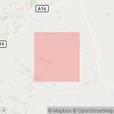
Bald Hills formation. Conglomerate, sandstone, and mudstone unit cropping out in northeast quarter of Ono 15-min quadrangle. Thickness 1,870 feet at type. Conformably overlies Ono formation; conformably underlies unnamed Upper Cretaceous mudstone unit. Age ranges from late Albian to late Cenomanian, based on molluscan fauna. Report includes list and descriptions of fauna.
Type section: in Bald Hills, along Crow Creek, in secs. 25, 26, and 31, T. 30 N., R. 7 W., Ono 15-min quadrangle, Shasta Co., CA. Named from Bald Hills.
Source: Modified from GNU records (USGS DDS-6; Menlo GNULEX).
- Usage in publication:
-
- Bald Hills member
- Modifications:
-
- Revised
- AAPG geologic province:
-
- Sacramento basin
Summary:
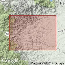
Bald Hills Formation of Murphy and Rodda (1960) is reduced to Bald Hills Member of Budden Canyon Formation (new) on basis of mapping south of Roaring River in Ono 15-min quadrangle. Underlies Gas Point Member; overlies Chickabally Mudstone Member (both new and of Budden Canyon Formation). Cretaceous fossils are abundant. Shown on geologic sketch map of Ono and Chanchelulla Peak 15-min quadrangles.
Source: Modified from GNU records (USGS DDS-6; Menlo GNULEX).
For more information, please contact Nancy Stamm, Geologic Names Committee Secretary.
Asterisk (*) indicates published by U.S. Geological Survey authors.
"No current usage" (†) implies that a name has been abandoned or has fallen into disuse. Former usage and, if known, replacement name given in parentheses ( ).
Slash (/) indicates name conflicts with nomenclatural guidelines (CSN, 1933; ACSN, 1961, 1970; NACSN, 1983, 2005, 2021). May be explained within brackets ([ ]).