

- Usage in publication:
-
- Baker Hill Formation*
- Modifications:
-
- Original reference
- Dominant lithology:
-
- Clay
- Sand
- AAPG geologic province:
-
- Mid-Gulf Coast basin
Summary:
Baker Hill Formation of Wilcox Group. Rocks previously included in the time-equivalent Nanafalia Formation are here named the Baker Hill Formation of the Wilcox Group in southeastern Alabama and southwestern Georgia. Consists of massive kaolinitic and bauxitic clay, carbonaceous clay, and cross-bedded micaceous quartz sand deposited in a fluvial to estuarine environment. Overlies the Clayton or Porters Creek Formations of the Midway Group; unconformably underlies Tuscahoma Formation of Wilcox Group. Thickness 55 feet at type locality, ranges from 50 to 150 feet. Age is late Paleocene based on dinoflagellates and its equivalency to the Nanafalia Formation.
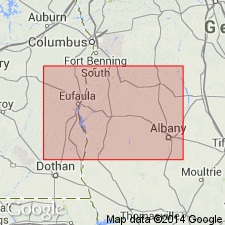
Type locality: exposure on south wall of Lynn Griffin No. 1 Mine, west side of County Highway 29, 5.2 mi southwest of Baker Hill, in NE/4 sec. 4, T. 8 N., R. 27 E., Lawrenceville 7.5-min quadrangle, Henry Co., AL.
Source: US geologic names lexicon (USGS Bull. 1565, p. 17-18).
For more information, please contact Nancy Stamm, Geologic Names Committee Secretary.
Asterisk (*) indicates published by U.S. Geological Survey authors.
"No current usage" (†) implies that a name has been abandoned or has fallen into disuse. Former usage and, if known, replacement name given in parentheses ( ).
Slash (/) indicates name conflicts with nomenclatural guidelines (CSN, 1933; ACSN, 1961, 1970; NACSN, 1983, 2005, 2021). May be explained within brackets ([ ]).