- Usage in publication:
-
- Bainbridge limestone
- Modifications:
-
- Original reference
- Dominant lithology:
-
- Limestone
- AAPG geologic province:
-
- Illinois basin
- Ozark uplift
Summary:
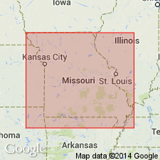
Pg. 110. Bainbridge limestone proposed to embrace all Silurian [Niagaran] limestones beneath Bailey limestone in river bluffs for some miles above and below Bainbridge, eastern Missouri, also above and below Thebes, southwestern Illinois. [For next older formation Ulrich adopted Girardeau limestone in above report.]
[Named from Bainbridge, Cape Girardeau Co., eastern MO.]
Source: US geologic names lexicon (USGS Bull. 896, p. 102).

- Usage in publication:
-
- Bainbridge Formation*
- Modifications:
-
- Revised
- AAPG geologic province:
-
- Upper Mississippi embayment
- Illinois basin
Summary:
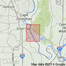
Silurian (Niagaran and Cayugan) Bainbridge Formation mapped in MO and IL. Consists of argillaceous limestone, siltstone, limestone, and shale. Includes basal Seventy-Six Shale Member (not noted during mapping but possibly present), St. Clair Limestone Member, and Moccasin Springs Member, following usage of Thompson (1993). In addition, although Illinois Geological Survey gives Bainbridge group status, and includes a shale facies in southern part of IL and St. Clair and Moccasin Springs as formations (Willman and others, 1975), that usage is not followed here.
Source: GNU records (USGS DDS-6; Reston GNULEX).
For more information, please contact Nancy Stamm, Geologic Names Committee Secretary.
Asterisk (*) indicates published by U.S. Geological Survey authors.
"No current usage" (†) implies that a name has been abandoned or has fallen into disuse. Former usage and, if known, replacement name given in parentheses ( ).
Slash (/) indicates name conflicts with nomenclatural guidelines (CSN, 1933; ACSN, 1961, 1970; NACSN, 1983, 2005, 2021). May be explained within brackets ([ ]).

