The National Geologic Map Database is migrating to a new infrastructure. We apologize for any service disruptions during this process.
|
|---|


- Usage in publication:
-
- Bailey Spring limestone*
- Modifications:
-
- Original reference
- Dominant lithology:
-
- Limestone
- AAPG geologic province:
-
- Great Basin province
Summary:
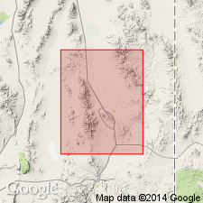
Pg. 7, 21, etc. Bailey Spring limestone. Gray, medium-bedded limestone, some cherty layers; basal beds consist of olive-brown fossiliferous limestone weathering to reddish debris which passes up into gray-black fossiliferous limestone that weathers to mottled red and yellow. These basal beds are probably not very thick. Thickness of formation 2,275 feet. Overlies Scotty Wash quartzite. Is youngest Carboniferous formation in Pioche district. Top is eroded. Is overlain by igneous rocks of Tertiary(?) age. Fossils are lower Pennsylvanian and late Mississippian, according to G.H. Girty. The formation occurs in several large areas southeast of Bailey Spring, on west side of Bristol Range, Pioche district, eastern Nevada.
Source: US geologic names lexicon (USGS Bull. 896, p. 102).
- Usage in publication:
-
- Bailey Spring limestone*
- Modifications:
-
- Revised
- AAPG geologic province:
-
- Great Basin province
Summary:
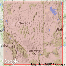
Pg. 147 (fig. 2). On correlation chart of recommended revision of stratigraphic units pertaining to Pioche district, Bailey Springs [!] limestone is shown as equivalent to Ely limestone; Ely is recommended term. Pioche district, as used in this report, extends north to Dutch John Mountains, approximately 40 miles north of Pioche, eastern Nevada. Age is Pennsylvanian.
Source: US geologic names lexicon (USGS Bull. 1200, p. 193-194); supplemental information from GNU records (USGS DDS-6; Menlo GNULEX).
- Usage in publication:
-
- Bailey Spring Limestone*
- Modifications:
-
- Mapped
- AAPG geologic province:
-
- Great Basin province
Summary:
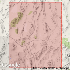
Shown on sketch map of Silverhorn and Fairview mining districts, southern Fairview and northern Bristol Ranges, Lincoln Co, NV. Outcrops restricted to northern and western margins in Fairview Range; most extensive outcrop is west of Silverhorn. Consists of fine- to medium-grained, gray weathering limestone in beds as much as 3 ft thick. Forms ledges and benches and probably includes argillaceous and thinner-bedded rock which does not crop out. Much is cherty. Is distinguished from other formations by its relatively thin bedding, nodular chert, absence of dolomite and stratigraphic position. Has not been recognized outside of Pioche region.
Source: GNU records (USGS DDS-6; Menlo GNULEX).
For more information, please contact Nancy Stamm, Geologic Names Committee Secretary.
Asterisk (*) indicates published by U.S. Geological Survey authors.
"No current usage" (†) implies that a name has been abandoned or has fallen into disuse. Former usage and, if known, replacement name given in parentheses ( ).
Slash (/) indicates name conflicts with nomenclatural guidelines (CSN, 1933; ACSN, 1961, 1970; NACSN, 1983, 2005, 2021). May be explained within brackets ([ ]).