- Usage in publication:
-
- Badwater greenstone*
- Modifications:
-
- Original reference
- Dominant lithology:
-
- Greenstone
- AAPG geologic province:
-
- Lake Superior region
Summary:
Pg. 30 (table 1), 37. Badwater greenstone of Baraga group. Uppermost formation of group. Lies stratigraphically above Michigamme slate; relationship is based on top directions established by graded bedding in Michigamme and ellipsoidal structures in the greenstone; this relationship is important in that it establishes not only the position of the greenstone but of sequence of rocks [Paint River group] that overlies it in Florence district of Wisconsin and Iron River-Crystal Falls district of Michigan. Maximum thickness attained is several miles; beds now exposed are about vertical. Map patterns reveal mound-like piles in which thicknesses of several miles diminish to the vanishing point within as little as 15 miles along the strike. Age is middle Precambrian (Animikie).
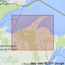
Named from extensive exposures in secs. 1, 2, and 11, T. 40 N., R. 31 W., in vicinity of Badwater Lake, southern Dickinson Co., Northern Peninsula, northern MI.
Source: US geologic names lexicon (USGS Bull. 1200, p. 191).

- Usage in publication:
-
- Badwater Greenstone*
- Modifications:
-
- Overview
- AAPG geologic province:
-
- Lake Superior region
Summary:
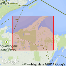
Pg. 2845 (fig. 2, stratigraphic chart compiled from Leith and others, 1935; James, 1958; Gair and Thaden, 1968). Badwater Greenstone of Baraga Group of Marquette Range Supergroup (new; replaces †Animikie series of James, 1958, south of Lake Superior, in Michigan and Wisconsin). Present in Menominee Range and Iron River-Crystal Falls district, northwestern Michigan. Overlies Michigamme Slate of Baraga Group. In Iron River-Crystal Falls district, underlies Dunn Creek Slate of Paint River Group. Age is middle Precambrian.
Source: Publication.

- Usage in publication:
-
- Badwater Greenstone*
- Modifications:
-
- Revised
- AAPG geologic province:
-
- Lake Superior region
Summary:
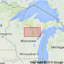
Badwater Greenstone of Baraga Group. In Florence area, Wisconsin, stratigraphic position of Badwater Greenstone is reinterpreted. Is part of upper plate of thrust fault (Badwater thrust) placing unit tectonically, rather than stratigraphically, above Michigamme Formation of Baraga Group. Thus, Badwater is actually older than Michigamme, younger than sedimentary rocks of Menominee Group, and is now correlated with Hemlock Formation of Baraga Group. Age is Early Proterozoic.
Source: Modified from GNU records (USGS DDS-6; Denver GNULEX).
For more information, please contact Nancy Stamm, Geologic Names Committee Secretary.
Asterisk (*) indicates published by U.S. Geological Survey authors.
"No current usage" (†) implies that a name has been abandoned or has fallen into disuse. Former usage and, if known, replacement name given in parentheses ( ).
Slash (/) indicates name conflicts with nomenclatural guidelines (CSN, 1933; ACSN, 1961, 1970; NACSN, 1983, 2005, 2021). May be explained within brackets ([ ]).

