

- Usage in publication:
-
- Bacons Castle Formation
- Modifications:
-
- Named
- Dominant lithology:
-
- Sand
- Gravel
- AAPG geologic province:
-
- Atlantic Coast basin
Summary:
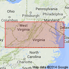
Name Bacons Castle Formation is proposed for clayey sand, pebble gravel, cobble gravel, and silty sand that overlie Sedley Formation and are overlain by Elberon Formation (new name) in southeastern VA. Bacons Castle and Elberon replace Kilby Formation of Moore (1956), which the authors here reject. Subdivided into two facies: coarse-grained Kilby (name retained) and fine-grained Cross Creek. Thickness ranges 15 to 28 ft. Where Sedley Formation is absent, Bacons Castle overlies Yorktown Formation. Age is Pliocene and (or) early Pleistocene(?).
Source: GNU records (USGS DDS-6; Reston GNULEX).
- Usage in publication:
-
- Bacons Castle Formation
- Modifications:
-
- Revised
- AAPG geologic province:
-
- Atlantic Coast basin
Summary:
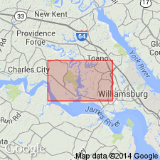
Bacons Castle Formation assigned in this report to Chesapeake Group. Unit is mappable over much of Middle Coastal Plain in VA and NC. All Bacons Castle sediments in the Brandon and Norge quadrangles belong to the Barhamsville Member (Ramsey, 1987: Abs; Ramsey, 1988: PhD thesis), interpreted as tidal flat deposits. Virina Grove Member (also of Ramsey), which represents fluvial and estuarine gravel and sand, is absent here. Age of the Bacons Castle is uncertain because no shell fossils or radiometrically dateable material has been found. Considered late Pliocene, based on stratigraphic position above the late Pliocene York Formation and below the early Pleistocene Windsor, relatively advanced soil development, and plant fossils of Pliocene age near Richmond.
Source: GNU records (USGS DDS-6; Reston GNULEX).
- Usage in publication:
-
- Bacons Castle Formation*
- Modifications:
-
- Overview
- AAPG geologic province:
-
- Atlantic Coast basin
Summary:
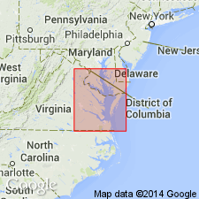
Bacons Castle Formation mapped in the Coastal Plain of Virginia where it constitutes surficial deposits of high plain extending from Richmond eastward to the Surry scarp. Divided into two members: 1) massive to thick-bedded pebble and cobble gravel grading upward into cross-bedded, pebbly sand and sandy and clayey silt and 2) predominantly thin-bedded and laminated clayey silt and silty fine sand characterized by flaser, wavy, and lenticular bedding and rare to common clay-lined burrows. Unit is 0 to 70 ft. Underlies Moorings unit of Oaks and Coch (1973) and overlies Chesapeake Group. Age is late Pliocene.
Source: GNU records (USGS DDS-6; Reston GNULEX).

- Usage in publication:
-
- Bacons Castle Formation
- Modifications:
-
- Overview
- AAPG geologic province:
-
- Atlantic Coast basin
Summary:
Nomenclature on State map follows Coch's (1965) use of Bacons Castle Formation. Described as gray, yellowish-orange and reddish-brown sand, gravel, silt, and clay. Constitutes surficial deposits of high plain extending from Richmond, eastward to the Surry scarp. Unit is subdivided into two unnamed members: Tb1 is massive to thick-bedded pebble and cobble gravel grading upward into cross-bedded, pebbly sand and sandy and clayey silt; Tb2 is predominantly thin-bedded and laminated clayey silt and silty fine-grained sand, characterized by flaser, wavy, and lenticular bedding and rare to common clay-lined burrows including OPHIOMORPHA NODOSA. Thickness is 0 to 70 ft. Age is late Pliocene.
Source: GNU records (USGS DDS-6; Reston GNULEX).
For more information, please contact Nancy Stamm, Geologic Names Committee Secretary.
Asterisk (*) indicates published by U.S. Geological Survey authors.
"No current usage" (†) implies that a name has been abandoned or has fallen into disuse. Former usage and, if known, replacement name given in parentheses ( ).
Slash (/) indicates name conflicts with nomenclatural guidelines (CSN, 1933; ACSN, 1961, 1970; NACSN, 1983, 2005, 2021). May be explained within brackets ([ ]).