

- Usage in publication:
-
- Bacon Ridge sandstone*
- Modifications:
-
- Original reference
- Dominant lithology:
-
- Sandstone
- AAPG geologic province:
-
- Yellowstone province
Summary:
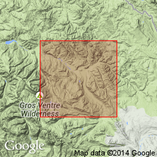
Pg. 2-3, 4-5, 21-24, 32-34. Bacon Ridge sandstone. Name applied to thick sequence of marine sandstone; overlies about 2,000 feet of shale [Cody shale] that in turn overlies Frontier formation as defined in central Wyoming. Measured sections show thicknesses of 318, 714, and 925 feet. Age is Late Cretaceous.
Source: US geologic names lexicon (USGS Bull. 1200, p. 189).
For more information, please contact Nancy Stamm, Geologic Names Committee Secretary.
Asterisk (*) indicates published by U.S. Geological Survey authors.
"No current usage" (†) implies that a name has been abandoned or has fallen into disuse. Former usage and, if known, replacement name given in parentheses ( ).
Slash (/) indicates name conflicts with nomenclatural guidelines (CSN, 1933; ACSN, 1961, 1970; NACSN, 1983, 2005, 2021). May be explained within brackets ([ ]).