

- Usage in publication:
-
- Back-bone [Backbone] limestone
- Modifications:
-
- Original reference
- Dominant lithology:
-
- Limestone
- AAPG geologic province:
-
- Illinois basin
Summary:
Pg. 169-178. Back-bone [Backbone] limestone. Rather thick-bedded coarsely crystalline limestones, 0 to 70+/- feet thick, unconformably underlying Clear Creek chert in southwestern Illinois and unconformably overlying Bailey limestone of New Scotland age. Fauna appear to be closely related to that of Becraft limestone of New York. No separate name was applied by Worthen to this limestone. Age is Early Devonian.
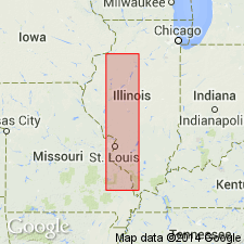
Well exposed near southern end of Devil's Back-bone [Backbone] Ridge, a short distance north of Grand Tower, Jackson Co., southwestern IL.
Source: US geologic names lexicon (USGS Bull. 896, p. 99).
- Usage in publication:
-
- Backbone limestone
- Modifications:
-
- Not used
- AAPG geologic province:
-
- Illinois basin
Summary:
Pg. 139-144. Author replaced his Backbone limestone (of supposed Helderberg age) with Weller's Little Saline limestone (of known Oriskany age), being satisfied of Oriskany age of his Backbone limestone and its equivalency to Little Saline limestone. Age is Early Devonian.
Source: US geologic names lexicon (USGS Bull. 896, p. 99).
- Usage in publication:
-
- Backbone limestone
- Modifications:
-
- Areal extent
- AAPG geologic province:
-
- Illinois basin
Summary:
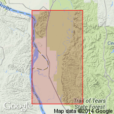
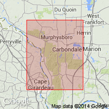
Pg. 127, 128; 1940, Illinois Geol. Survey Rpt. Inv., no. 71, p. 23-24. Backbone limestone. Known only in Union and Jackson Counties, Illinois. Estimated thickness 230 feet. Thins and disappears southward or, in that direction, has been so completely weathered that it cannot be identified. Believed to overlie Grassy Knob chert. May have been included in Clear Creek in many places. Age is Devonian.
Source: US geologic names lexicon (USGS Bull. 1200, p. 188).
- Usage in publication:
-
- Backbone Limestone
- Modifications:
-
- Areal extent
- Revised
- AAPG geologic province:
-
- Illinois basin
Summary:
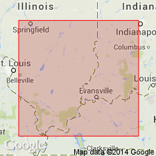
Backbone Limestone of New Harmony Group used in southern IL, southwestern IN, and southwestern KY. The New Harmony Group thickens toward center of basin to 1000 ft in southeastern IL. Lower New Harmony rocks (Grassy Knob Chert and Backbone Limestone) have the widest distribution while younger Clear Creek Chert is restricted to central part of study area. Cross sections.
Source: GNU records (USGS DDS-6; Reston GNULEX).
For more information, please contact Nancy Stamm, Geologic Names Committee Secretary.
Asterisk (*) indicates published by U.S. Geological Survey authors.
"No current usage" (†) implies that a name has been abandoned or has fallen into disuse. Former usage and, if known, replacement name given in parentheses ( ).
Slash (/) indicates name conflicts with nomenclatural guidelines (CSN, 1933; ACSN, 1961, 1970; NACSN, 1983, 2005, 2021). May be explained within brackets ([ ]).