

- Usage in publication:
-
- Baada Point Member*
- Modifications:
-
- Named
- Dominant lithology:
-
- Siltstone
- AAPG geologic province:
-
- Olympic Mountains province
Summary:
Named Baada Point Member, lowest member of Makah Formation, from exposures at Baada Point. Consists of light olive-gray, weathering yellow-brown, thick-bedded, amalgamated turbidite, ridge-forming sandstone with siltstone interbeds and calcareous concretions. Is 120 m thick at type. Gradationally overlies and underlies unnamed strata in lower part of Makah Formation. Age is late Eocene.
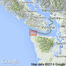
Type section: wave-cut platform and headland at Baada Point, SE/4 NW/4 sec. 12, T. 33 N., R. 15 W., Strait of Juan de Fuca, Clallam Co., WA. Named from Baada Point.
Source: Modified from GNU records (USGS DDS-6; Menlo GNULEX).
For more information, please contact Nancy Stamm, Geologic Names Committee Secretary.
Asterisk (*) indicates published by U.S. Geological Survey authors.
"No current usage" (†) implies that a name has been abandoned or has fallen into disuse. Former usage and, if known, replacement name given in parentheses ( ).
Slash (/) indicates name conflicts with nomenclatural guidelines (CSN, 1933; ACSN, 1961, 1970; NACSN, 1983, 2005, 2021). May be explained within brackets ([ ]).