The National Geologic Map Database is migrating to a new infrastructure. We apologize for any service disruptions during this process.
|
|---|


- Usage in publication:
-
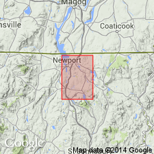
- Ayers Cliff formation
- Modifications:
-
- Named
- Dominant lithology:
-
- Limestone
- Sandstone
- Slate
- AAPG geologic province:
-
- New England province
Summary:
Belt of impure limestones, calcareous sandstones, and minor slates in CAN and northern VT here named Ayers Cliff formation. Thickness about 4,500 ft. Unconformably underlies Barton River formation; overlies Northfield slates. Newly defined terms Ayers Cliff, Barton River, and Westmore formations make terms Waits River formation (Currier and Jahns, 1941), and Tomifobia formation (Clark, 1934) inadequate. Age of Ayers Cliff is Middle Ordovician (Trentonian or younger).
Source: GNU records (USGS DDS-6; Reston GNULEX).
For more information, please contact Nancy Stamm, Geologic Names Committee Secretary.
Asterisk (*) indicates published by U.S. Geological Survey authors.
"No current usage" (†) implies that a name has been abandoned or has fallen into disuse. Former usage and, if known, replacement name given in parentheses ( ).
Slash (/) indicates name conflicts with nomenclatural guidelines (CSN, 1933; ACSN, 1961, 1970; NACSN, 1983, 2005, 2021). May be explained within brackets ([ ]).