- Usage in publication:
-
- Ayer Granite*
- Modifications:
-
- Age modified
- Geochronologic dating
- AAPG geologic province:
-
- New England province
Summary:
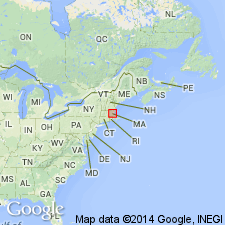
Ayer Granite was also called Ayer crystalline complex by Gore (1976), who also divided it into the Devens-Long Pond facies and the Clinton facies. Earlier U-Pb isotopic age determinations showed that Devens-Long Pond facies couldn't be dated reliably (R.E. Zartman and R.S. Naylor, written commun., 1978). Radiometric age determinations on Clinton facies indicate an Early Silurian age (about 436 m.y.) Re-evaluation of the earlier data and application of a new time scale indicates a Late Ordovician or possibly Early Silurian age (433 +/-5 m.y.) for both facies (R.E. Zartman, written commun., 1981).
Source: GNU records (USGS DDS-6; Reston GNULEX).

- Usage in publication:
-
- Ayer Granite*
- Modifications:
-
- Overview
- AAPG geologic province:
-
- New England province
Summary:
Used as Ayer Granite of Late Ordovician(?) and Early Silurian age. Divided into a granite to tonalite unit, Clinton facies, and Devens-Long Pond facies.
Source: GNU records (USGS DDS-6; Reston GNULEX).

- Usage in publication:
-
- Ayer Granite*
- Modifications:
-
- Overview
- Geochronologic dating
- AAPG geologic province:
-
- New England province
Summary:
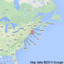
Ayer Granite is divided into the Clinton facies and the Devens-Long Pond facies (Gore, 1976). In addition, there are some masses not assigned to either facies that intrude Berwick Formation west and northwest of Lawrence, and that intrude Paxton and Oakdale Formations south of Worcester and west of probable southern continuation of Wekepeke fault. Radiometric ages obtained for facies of Ayer pose problems in assigning ages to unfossiliferous sedimentary rocks they intrude. Clinton facies has a well-defined U-Pb zircon age of 433 +/-5 Ma (Zartman and Naylor, 1984) that authors cite as Early Silurian; Devens-Long Pond facies has a similar age. This age greatly compresses the time available for deposition, burial, deformation, and metamorphism of Berwick and Paxton if these units are truly Silurian. Some of the Ayer not assigned to a facies may have been more properly correlated with Early Devonian Chelmsford Granite and muscovite-biotite granite at Millstone Hill. Bodies south of Worcester may be more properly correlated with Canterbury Gneiss of CT, which lies on strike with Ayer and has Early Devonian age of 329 +/-9 Ma (Zartman and Naylor, 1984). Zartman and Naylor (1984) believe Ayer Granite has same age range as Newburyport Complex. It is quite possible, based on textural and mineralogical differences that the two facies should be separate units, representing different magmatic events. [Papers presented as chapters in U.S. Geological Survey Professional Paper 1366 are intended as explanations and (or) revisions to MA State bedrock geologic map of Zen and others (1983) at scale of 1:250,000.]
Source: GNU records (USGS DDS-6; Reston GNULEX).

- Usage in publication:
-
- Ayer Granodiorite*
- Modifications:
-
- Age modified
- Geochronologic dating
- Overview
- AAPG geologic province:
-
- New England province
Summary:
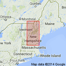
Used as Ayer Granodiorite. Consists of gneissic granite to tonalite, locally coarsely porphyritic and muscovitic. Occurs in southern NH. Age changed from Late Ordovician(?) and Early Silurian to just Early Silurian based on isotope age of 433 +/-5 Ma using U-Pb methods (Zartman and Naylor, 1984). Report includes geologic map and correlation chart, and 1:500,000-scale map showing plutons and sample localities for age dating.
Source: GNU records (USGS DDS-6; Reston GNULEX).
For more information, please contact Nancy Stamm, Geologic Names Committee Secretary.
Asterisk (*) indicates published by U.S. Geological Survey authors.
"No current usage" (†) implies that a name has been abandoned or has fallen into disuse. Former usage and, if known, replacement name given in parentheses ( ).
Slash (/) indicates name conflicts with nomenclatural guidelines (CSN, 1933; ACSN, 1961, 1970; NACSN, 1983, 2005, 2021). May be explained within brackets ([ ]).

