

- Usage in publication:
-
- Avis sandstone
- Modifications:
-
- Original reference
- Dominant lithology:
-
- Sandstone
- AAPG geologic province:
-
- Appalachian basin
Summary:
Pg. 296, 345. Avis sandstone. Greenish gray, micaceous, massive or shaly, persistent, 10 to 35 feet thick. Underlies Low Gap shale and overlies Upper Avis shale, all members of Hinton group [formation]. Age is Mississippian.
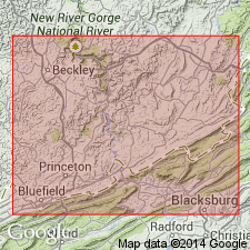
Type locality: high up sides of mountains in vicinity of Hinton and Avis, Summers Co., southeastern WV. Also observed in Mercer Co.
Source: US geologic names lexicon (USGS Bull. 896, p. 96).
For more information, please contact Nancy Stamm, Geologic Names Committee Secretary.
Asterisk (*) indicates published by U.S. Geological Survey authors.
"No current usage" (†) implies that a name has been abandoned or has fallen into disuse. Former usage and, if known, replacement name given in parentheses ( ).
Slash (/) indicates name conflicts with nomenclatural guidelines (CSN, 1933; ACSN, 1961, 1970; NACSN, 1983, 2005, 2021). May be explained within brackets ([ ]).