

- Usage in publication:
-
- Aurora Till Member
- Modifications:
-
- Original reference
- Dominant lithology:
-
- Till
- AAPG geologic province:
-
- Iowa shelf
Summary:
Pg. 38-54. Aurora Till Member of Wolf Creek Formation. Yellowish-brown to greenish-gray, silty till, pebble loam. Loam-textured. Thickness ranges from 6 to 11 m. Unconformably overlies Winthrop Till Member or older units; underlies and grades into Dysart paleosol; unconformably underlies Hickory Hills Till Member. Age is Pleistocene (pre-Illinoian).
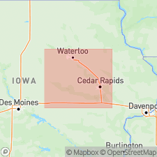
Type locality (subsurface): Aurora drilling transect, a series of coreholes on divide between Wapsipinicon and Maquoketa Rivers, 3.2 km southwest of town of Aurora, in NE/4 sec. 23, T. 90 N., R. 8 W., Buchanan Co., northeastern IA.
Source: US geologic names lexicon (USGS Bull. 1564, p. 6).
For more information, please contact Nancy Stamm, Geologic Names Committee Secretary.
Asterisk (*) indicates published by U.S. Geological Survey authors.
"No current usage" (†) implies that a name has been abandoned or has fallen into disuse. Former usage and, if known, replacement name given in parentheses ( ).
Slash (/) indicates name conflicts with nomenclatural guidelines (CSN, 1933; ACSN, 1961, 1970; NACSN, 1983, 2005, 2021). May be explained within brackets ([ ]).