- Usage in publication:
-
- Aubrey group*
- Modifications:
-
- Original reference
- Dominant lithology:
-
- Sandstone
- Limestone
- Shale
- AAPG geologic province:
-
- Plateau sedimentary province
Summary:
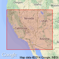
Pg. 176-185, 197. Aubrey group. Consists of (descending): (1) cherty limestones, 200 to 820 feet (Aubrey limestone); (2) massive, cross-bedded yellow sandstones, 300 to 1,000 feet (Aubrey sandstones); (3) red and white shales and sandstones, 800 feet. Overlies Red Wall limestone group and underlies Lower Triassic marls [now called Moenkopi formation]. The Aubrey limestone and sandstones constitute Aubrey Cliff, which faces Aubrey Valley, in northern Arizona and stretches southeast nearly to Camp Apache. Age is Pennsylvanian and Permian.
Source: US geologic names lexicon (USGS Bull. 896, p. 91).

- Usage in publication:
-
- Aubrey group*
- Modifications:
-
- Revised
- AAPG geologic province:
-
- Plateau sedimentary province
Summary:
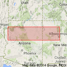
Pg. 21-30. Aubrey group. The 3 formations included in Aubrey group in Arizona require individual names according to present methods of nomenclature, so that I shall here introduce the terms Kaibab limestone (to replace "Aubrey" limestone of early reports); Coconino sandstone (for the cross-bedded gray to white sandstone of Aubrey group, which is so conspicuous in walls of Grand Canyon); and Supai formation (for the red sandstones and shales constituting lower part of Aubrey group in northern Arizona. In previous literature the Supai formation and Coconino sandstone have usually been referred to as "Aubrey sandstone series.") Thickness ranges from 1,670 to 2,820 feet. Overlies Redwall limestone. Unconformably underlies Moenkopi formation. Is undivided in Zuni uplift of northwestern New Mexico where thickness ranges from 400 to 1,150 feet; Supai, Coconino, and Kaibab lithologies recognized but names not used. Age is Pennsylvanian and Permian.
Source: US geologic names lexicon (USGS Bull. 896, p. 90); supplemental information from GNU records (USGS DDS-6; Denver GNULEX).

- Usage in publication:
-
- Aubrey group*
- Modifications:
-
- Revised
- AAPG geologic province:
-
- Plateau sedimentary province
Summary:
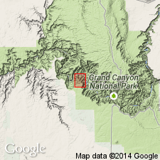
Aubrey group. The upper 235+/- feet of thin-bedded limestones which form top member of Redwall limestone and are said to contain Pennsylvanian fossils, are here included in Supai formation, and Redwall is restricted to Mississippian part of original Redwall.
Source: US geologic names lexicon (USGS Bull. 896, p. 90).

- Usage in publication:
-
- Aubrey group*
- Modifications:
-
- Overview
- AAPG geologic province:
-
- Plateau sedimentary province
Summary:
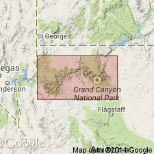
Aubrey group. Now [ca. 1938] generally divided into (descending) Kaibab limestone, Coconino sandstone, Hermit shale, and Supai formation.
Source: US geologic names lexicon (USGS Bull. 896, p. 90).

- Usage in publication:
-
- Aubrey Group†
- Modifications:
-
- Abandoned
- AAPG geologic province:
-
- Plateau sedimentary province
Summary:
Name Aubrey Group abandoned in this report. Basis for abandonment: 1) Supai, formerly the oldest formation in the Aubrey Group, was raised to group rank; 2) boundaries of the Aubrey have been revised several times over the years; and 3) term Aubrey has fallen into disuse.
Source: GNU records (USGS DDS-6; Denver GNULEX).
For more information, please contact Nancy Stamm, Geologic Names Committee Secretary.
Asterisk (*) indicates published by U.S. Geological Survey authors.
"No current usage" (†) implies that a name has been abandoned or has fallen into disuse. Former usage and, if known, replacement name given in parentheses ( ).
Slash (/) indicates name conflicts with nomenclatural guidelines (CSN, 1933; ACSN, 1961, 1970; NACSN, 1983, 2005, 2021). May be explained within brackets ([ ]).

