

- Usage in publication:
-
- Atchinson formation
- Modifications:
-
- Original reference
- Dominant lithology:
-
- Andesite
- Breccia
- Lava
- AAPG geologic province:
-
- Great Basin province
Summary:
Pg. 16 (fig. 2a), 18-20, 61, 63. Atchinson formation. In most places, basal unit of this formation is black breccia composed of angular blocks of augite andesite lava; about 500 feet thick and grades irregularly into unbroken flow-rock in Atchinson Mountain; locally at base are found a little white limestone and red sandstone gravel. Upper unit is a red to red-brown monolithic breccia. Thickness ranges from a fraction of a foot to about 500 feet. Overlies Rencher and Grass Valley formations (both new). Age is Tertiary.
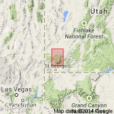
Named from exposures on Atchinson Mountain, [Washington Co.], southwestern UT. Mapped in northern half of Pine Valley Mountains, Washington and Iron Cos., southwestern UT.
Source: US geologic names lexicon (USGS Bull. 1200, p. 160).
For more information, please contact Nancy Stamm, Geologic Names Committee Secretary.
Asterisk (*) indicates published by U.S. Geological Survey authors.
"No current usage" (†) implies that a name has been abandoned or has fallen into disuse. Former usage and, if known, replacement name given in parentheses ( ).
Slash (/) indicates name conflicts with nomenclatural guidelines (CSN, 1933; ACSN, 1961, 1970; NACSN, 1983, 2005, 2021). May be explained within brackets ([ ]).