The National Geologic Map Database is migrating to a new infrastructure. We apologize for any service disruptions during this process.
|
|---|


- Usage in publication:
-
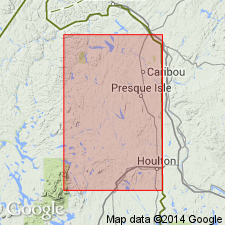
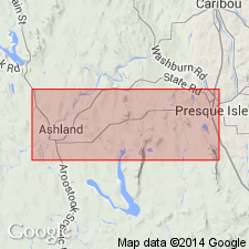
- Ashland shales
- Modifications:
-
- Original reference
- Dominant lithology:
-
- Shale
- AAPG geologic province:
-
- New England province
Summary:
Pg. 21, 45, 49-51. Ashland shales. In Ashland village, along road opposite the [Ashland] hotel, and southward toward Massardis, are several outcrops of limestones, calcareous shales, and sandstones, which present stratigraphic relationship to one another, but on account of shear planes and semilated structure, as well as intervals unexposed, some doubt must be held regarding accuracy of interpretation. The irregular, block-like masses of limestone opposite the hotel are met on south side by yellowish, weathered shales. There is an interval of several hundred feet showing no rock exposures. On east side of road there is a rock cut about 400 feet south of hotel. The rocks in this exposure are calcareous, thin-bedded shales, somewhat nodular and weathering yellowish from iron oxide. Some layers contain nearly pure argillaceous shales, others are calcareous. The calcareous layers are all somewhat arenaceous, showing pebbles of quartz, jaspers, and siliceous slates, mingled with broken calcareous shells, and a approach to the conditions of Sheridan sandstone. Writer's interpretation, with his present knowledge of facts, is that the shales are older than the limestones, and that Sheridan sandstones are of same age as [or older, p. 21] the shales. Fauna correlated with Niagara of New York. Regarded as younger than Aroostook limestone.
Source: US geologic names lexicon (USGS Bull. 896, p. 80).
- Usage in publication:
-
- Anthony shale†
- Modifications:
-
- Abandoned
- AAPG geologic province:
-
- New England province
Summary:
Pg. 170-172, 173-174; 1940 [abs.], GSA Bull., v. 51, no. 12, pt. 2, p. 1978-1979. †Ashland shale included in Ashland formation (new). [See entry under Ashland formation.]
Source: US geologic names lexicon (USGS Bull. 1200, p. 152).
For more information, please contact Nancy Stamm, Geologic Names Committee Secretary.
Asterisk (*) indicates published by U.S. Geological Survey authors.
"No current usage" (†) implies that a name has been abandoned or has fallen into disuse. Former usage and, if known, replacement name given in parentheses ( ).
Slash (/) indicates name conflicts with nomenclatural guidelines (CSN, 1933; ACSN, 1961, 1970; NACSN, 1983, 2005, 2021). May be explained within brackets ([ ]).